3.7 Earthquake on Colorado-New Mexico Border
© iStock

An earthquake occurred just south of the Colorado-New Mexico border early Friday morning.
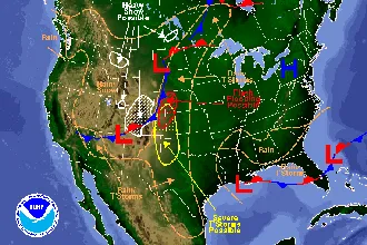
According to the United State Geological Survey, the quake occurred at 12:53 a.m., and was centered about 27 miles southwest of Trinidad on the Canadian River at a depth of three miles. It registered 3.7 on the Richter Scale.
Only three people have reported feeling the quake, and no damages have been reported.
Small earthquakes are common in the area, including a 3.9 quake that occurred in June.
The USGS says earthquakes east of the Rocky Mountains, although less frequent than along the west coast, are typically felt over a much broader region than earthquakes of similar magnitude in the west. East of the Rockies, an earthquake can be felt over an area more than ten times larger than a similar magnitude earthquake on the west coast.
There is evidence that some central and eastern North America earthquakes have been triggered or caused by human activities that have altered the stress conditions in earth's crust. Activities that have induced felt earthquakes in some area have included water behind dams, injection of fluid into the earth's crust, extraction of fluid or gas, and removal of rock in mining or quarrying operations. Oil and gas production is common in the general area where the earthquake struck.
Over 30 quakes have occurred in Colorado this year. Most of those earthquakes have struck in the western half of the state, including a series of 18 quakes over a 10-day period January near Snowmass Village in Pitkin and Gunnison counties.
Nearly 200 earthquakes have occurred in southeast Idaho this week, measuring up to 5.3 on the Richter Scale. An 8.1 quake occurred off the west coast of Mexico late Thursday night.