Cooler Weather Returns with Chances of Rain

A cold front that continues to drop across eastern Colorado will bring cooler temperatures for the weekend.
Western Colorado will largely remain dry Friday, with temperatures ranging from the upper 70s near Craig to the low 90s around Grand Junction and Cortez. Sunny skies and highs in the upper 80s to low 90s will be the norm through the weekend – welcome relief from temperatures above 100 in many areas earlier in the week.
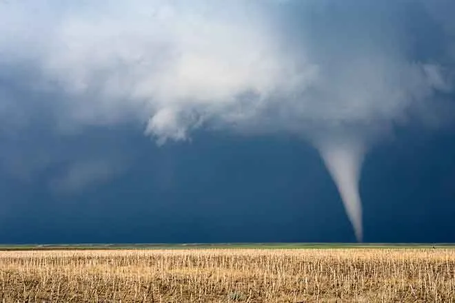
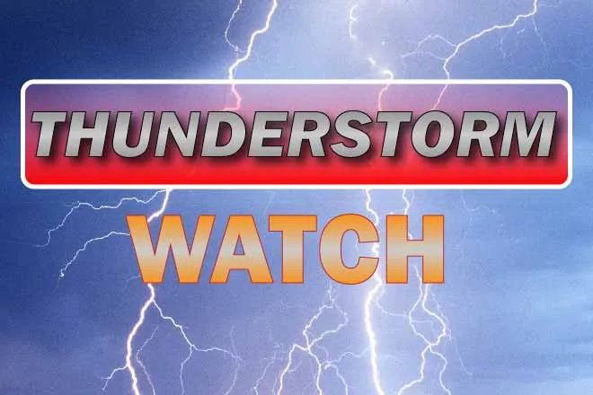
Temperatures over the plains will remain in the 70s - below seasonal norms - through the weekend and into Monday. Locally heavy rain, along with the possibility of strong to severe storms, will also continue into the coming week for the eastern half of the state.
For Tuesday through Thursday, look for drier and warmer conditions to the east, and a similar pattern to the west as daytime highs gradually increase.
Check the new KiowaCountyPress.net weather page for regular updates throughout the week.
Weekend Forecast - June 24-26 | ||||||
Friday | Saturday | Sunday | ||||
City | High | Low | High | Low | High | Low |
Eads | 71 | 53 | 77 | 52 | 76 | 55 |
Springfield | 72 | 53 | 76 | 52 | 77 | 57 |
Trinidad | 69 | 52 | 80 | 54 | 79 | 56 |
Limon | 67 | 46 | 72 | 49 | 71 | 51 |
Sterling | 73 | 47 | 73 | 49 | 72 | 52 |
Fort Morgan | 71 | 48 | 73 | 52 | 73 | 54 |
Craig | 79 | 42 | 79 | 41 | 82 | 44 |
Grand Junction | 92 | 60 | 93 | 59 | 95 | 61 |
Montrose | 88 | 54 | 88 | 54 | 89 | 56 |
Cortez | 91 | 54 | 90 | 50 | 91 | 53 |