Flood Risk Wednesday as Monsoon Moisture Deepens
Temperatures across Southeast Colorado will be below normal Wednesday as another round of monsoon moisture spreads across the area.
While exact locations for the heaviest rains are unknown, be alert to the flood risk throughout the area. A flash flood watch will be in effect from 3:00 p.m. Wednesday until 3:00 a.m. Thursday.
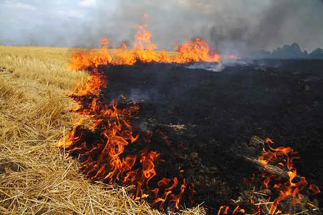
The National Weather Service is cautioning that flash flooding could occur near recent burn scars as well as in urban areas. Normally dry streams, arroyos and low water crossings could flood as a complex of thunderstorms develop across the southeast which could persist for several hours.
Storms could be severe in some locations, producing winds to 60 miles per hour and up to one inch hail.
While the northeast and west slope of Colorado are not yet being advised about flooding risks, conditions could change, and all of the state can expect a chance of rain over the next several days. A plume of monsoon moisture will remain over the state for the remainder of the week, potentially producing wide-spread showers and storms.


