Flooding – Know the Risks
Note: March 12 through 18 is Flood and Wildfire Safety Week in Colorado. This is the third article in a series on safety and preparedness. See Monday’s article here.
Today’s topic during this Flood Safety and Wildfire Awareness Week is flooding which develops in the time frame of longer than 6 hours to several days.
There have been some notable floods across the Centennial State:
In early June of 1921, a flood along the Arkansas River devastated the City of Pueblo. Scores of drownings occurred.
Around Memorial Day 1935 catastrophic flooding occurred on the Palmer Divide and the Colorado Springs area, causing millions of dollars of damage, and drowning at least 18 people.
The mid-June 1965 flood was widespread across eastern Colorado, taking several lives, and causing over 500 million dollars of damage.
During late April and early May of 1999, after up to 14 inches of rain fell, a major flood occurred across southeast Colorado from Colorado Springs to La Junta.
In 2013, the historic rains and floods in September caused over 3 billion dollars of damage, and took 9 lives.
In 2014, during May, multiple days of heavy rain and snow caused flooding across many areas of eastern Colorado.
Floods in Colorado can result from rapid snow melt, ice jams, a combination of snow melt and heavy rain, or just heavy rain.
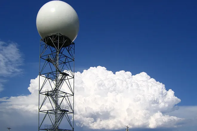
National Weather Service forecast offices in Colorado closely collaborate with regional River Forecast Centers that monitor the Colorado River, South Platte River, Arkansas River, and Rio Grande to come to a consensus on the likelihood of flooding along rivers and large creeks.
The National Weather Service will discuss flood potential in hydrologic outlooks, daily hazardous weather outlooks, and in graphical weather stories on National Weather Service forecast office web sites.
Hydrologic statements may be issued for high flows that are within the banks of a river or large creek.
When flooding is possible on a river or large creek, a Flood Watch will be issued, meaning flooding is possible within the designated watch area.
When flooding is likely or occurring on a river or large creek, a Flood Warning will be issued, meaning flooding is expected or has been reported at designated river forecast points.
Flood Advisories may be issued for minor flooding on rivers and creeks.
An Areal Flood Warning may also be issued for flooding on a river or large creek in areas away from the designated river forecast points.
You can easily monitor potential flooding along rivers in Colorado and large creeks using the Advanced Hydrologic Prediction Service monitoring system. Information on this monitoring system can be obtained from this web site:
This monitoring system can be accessed on Colorado National Weather Service forecast office web sites by clicking Rivers and Lakes.
At each river and large creek gauge you can easily look at current and forecast water levels, flood categories, historic crests, and flood impacts. Probabilities of exceedance of certain water levels by week or over the long term are also available.
In general, there will be some time to prepare for river and large creek flooding, and emergency management in your area has plans in place to address flooding issues. Know these plans and how you should act accordingly when Flood Watches and Flood Warnings are in effect.
For more information on flood safety go to:
http://www.floodsafety.noaa.gov
The topic for tomorrow is life-threatening flooding which occurs very quickly, flash floods.
Colorado Flood Safety and Wildfire Awareness Week continues through this Saturday.