Fall-Like Weather Arrives for Colorado’s Plains Sunday

With the official start of autumn approaching Friday, temperatures Sunday will feel like the season is well underway.
Most of the eastern plains can expect temperatures in the mid-60s to low 70s Sunday – slightly below average - with a chance of showers and thunderstorms. Some storms could be severe, particularly near the southern mountains as an upper level disturbance moves into the western half of the state during the afternoon.
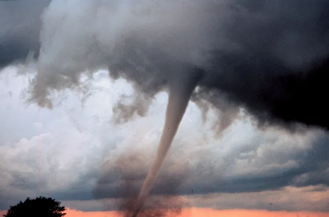
Although a few showers and thunderstorms have occurred over southeastern Colorado during the morning, most of the area is expected to remain dry until the early evening hours. There is a slight risk for tornadoes, particularly in Las Animas county, along with some potential in Huerfano, Pueblo and what southwest corner of Otero counties.
Looking to the week ahead, expect generally dry conditions as temperatures warm up to well above average Monday and Tuesday as mid-80s to low 90s return. A cold front dropping south Wednesday will bring temerpatures back into the normal range for this time of year, mostly in the upper 70s to low 80s. The relief will be short-lived as temperatures jump again to around 90 Thursday.
By Friday, cold air drops into Colorado, bringing temperatures that could support snow at the higher elevations and generally cooler conditions for the first weekend of autumn.
Overnight lows begin falling into the 40s throughout the week.