Americans enduring scorching heat amid a summer for the record books

(AccuWeather) Many cities across the United States have never recorded levels of heat and drought like those of this summer. Large areas of the country experienced above-average temperatures, and in some cases, the extreme heat has been unusually sustained. Now, midway through the season, here are some of the places where summer has had Americans sweltering the most, according to an AccuWeather analysis.
Near-record warmth also covered locations from the Pacific Northwest to the south-central U.S., as well as across parts of the Northeast. Oregon had its fourth-hottest July on record, with Colorado, Florida, Louisiana, New Mexico, Oklahoma and Rhode Island sweltering through their top-five warmest Julys on record. Boston had its warmest first week of August on record when temperatures rose to almost 9 degrees above average.
As of August 12, Oklahoma City had already had 19 days on which the temperature reached 100 degrees or higher days this summer -- three more days than what has been recorded over the last five years combined. Summer is already proving to be much hotter there than in 2021, which didn't record even a single triple-digit temperature throughout the whole year. And farther to the south, the heat stats are even more incredible.
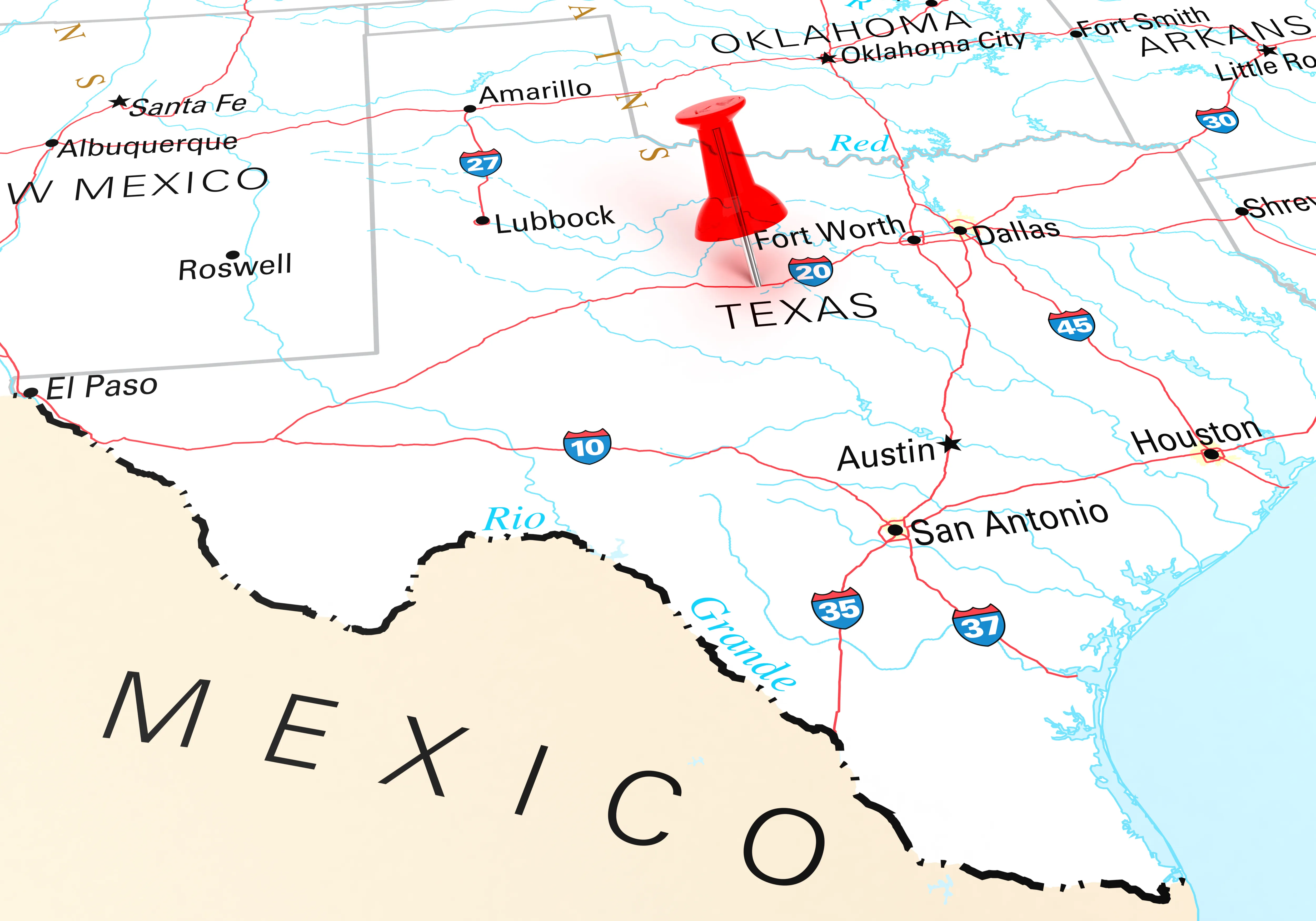
Texas has felt the brunt of the heat, enduring its hottest July, May-July and April-July periods on record, according to data released by the National Oceanic and Atmospheric Administration (NOAA) this week. Houston, San Antonio, Del Rio and Austin are all experiencing their hottest summers on record, with temperatures as much as five degrees higher than a typical season. San Angelo, about 230 miles west of Austin, was in the midst of a 35-day streak with highs over 100 degrees.
San Antonio is on pace to shatter its all-time annual record for days on which the mercury has soared to 100 degrees or greater. As of Friday, that number stood at 57 days, a mark that has far surpassed the year-to-date record of 43 set in 2009 and was in striking distance of the record number of days for an entire year -- 59. Not far away, a similar story has played out in Austin, which has notched 62 days with highs over 100 degrees so far this year.
The daily highs in Dallas have been 95 degrees or higher for three straight weeks, much hotter than normal for this time of year. The Dallas-Fort Worth area has even more problems amid an extreme drought going as far back as May 17. One hundred percent of Dallas County is in an extreme drought, while 21 percent of the whole state is experiencing exceptional drought -- the most intense category of drought -- according to the U.S. Drought Monitor.
A 67-day stretch with no measurable rain came to an end in Dallas on Wednesday when 0.41 of an inch of rain fell. That was the second-longest dry streak at Dallas-Fort Worth Airport. The standing record was 85 consecutive days that spanned much of the summer of 2000.
Despite the rainfall at midweek, the ground is still really dry. Because of that, it can heat up quickly across areas of north-central Texas and west-central Oklahoma, according to AccuWeather Lead Long-Range Meteorologist Paul Pastelok.
[[{"fid":"10678","view_mode":"default","fields":{},"link_text":null,"type":"media","field_deltas":{"4":{}},"attributes":{"class":"media-element file-default","data-delta":"4"}}]]
"I would not expect any long-term cooldown," Pastelok said of the long-range forecast for the Dallas metro area. He believes there are still opportunities for "temperatures to reach near 100 degrees on more selective days of the rest of August in Dallas, but it gets harder and harder in early September."
Great Salt Lake shrivels
The warm arid desert in the West certainly had its fair share of the summer heat. Salt Lake City International Airport recorded a high of 100 degrees on July 28, marking the 16th day that month of triple-digit temperatures and breaking the previous record of 15 in July 1960. Last month, the city tied its record for the hottest recorded temperature of 107 degrees for the fourth time, according to NOAA weather data. The other occasions on which the mercury rose to 107 in Salt Lake City were in June 2021, July 2002 and July 1960. Record-keeping began there in 1874.
[[{"fid":"10677","view_mode":"default","fields":{},"link_text":null,"type":"media","field_deltas":{"3":{}},"attributes":{"class":"media-element file-default","data-delta":"3"}}]]
That intense heat hasn't just made the residents of Utah sweat though -- it has also magnified the ongoing megadrought, which has contributed to the dire state of the Great Salt Lake. Between July 2021 and 2022, the average daily water level of the lake dropped by about one foot, a historic low, and is expected to fall even farther.
Hot in the Sunshine State
Farther east, in Florida, the average high so far this summer has ranged from 88 to 96 degrees. National Weather Service stations in central Florida, including Orlando, Daytona Beach and Tampa, measured average highs as much as 3 degrees warmer than normal for a typical summer. That departure goes up to 5 degrees at the Jacksonville station, which is also tied with Orlando, Tampa and Plant City for the hottest cities in the state this summer.
Nearby, Fort Lauderdale has tied its all-time season-to-date record of one 100-degree day. Not too far away, Gulfport, Mississippi, edged out that record with four 100-degree days, tying its own season-to-date record.
The very worst of the heat might be in the past for many of the Gulf Coast states, but toward the end of the season, as fall settles in, temperatures will stay very high. This also presents the chance of major storms to come rolling in, as the Atlantic warms enough for tropical storms and even hurricanes.
"We do expect La Niña actually to strengthen a little bit during the latter part of the peak of the tropical season, meaning mid-fall, and it could have some impacts as far as tropical season," Pastelok explained in the AccuWeather 2022 fall forecast.
Water temperatures have been well above average in the northern Gulf of Mexico, due to this exceptionally hot summer, which could potentially help tropical systems that may track over the Gulf gain strength as they approach land. While the East Coast is expected to take the brunt of hurricane activity this season, Pastelok said that there could be "one big system" that could make landfall in Texas or Louisiana.
Republished from AccuWeather.com with permission.