CDOT urges travelers to be ready for winter weather this week
Warm fall weather is quickly coming to an end with winter weather taking its place. Coloradans need to be prepared for a statewide snow storm with significant snow expected to impact southern Colorado, including the Palmer Divide to the Kansas border. While the weather forecast for this storm remains highly variable, it is possible that storm impacts could affect the Denver metro area and areas to the South along the Front Range beginning tonight.
A complex storm system drops into Colorado Tuesday night, promising an extended stretch of wet and colder weather for portions of the state. For the mountains and valleys, the first wave of snow arrives today and continues through much of Wednesday before largely ending. Snow could hang on over the eastern San Juans for a much longer duration. Winter-like impacts are anticipated to develop over the mountain passes today and tonight, but they should improve later on Wednesday.
© iStock - ronniechua
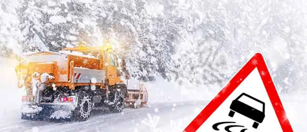
While Colorado Department of Transportation crews will be out plowing roads, pavement may be slick and motorists should prepare for winter driving conditions, particularly on Interstate 25 south of Denver, and the Interstate 70 mountain corridor and higher elevations. Motorists should plan ahead, and check the weather and road conditions on COtrip.org or the COtrip Planner app before going out. They should avoid or limit driving during the brunt of a snow storm. They must be winter-ready, including having the appropriate tires with adequate tread for the weather. It is also important to pack a survival kit including blankets, extra clothing, food, water, a flashlight, chargers and batteries.
The “must carry” provision for truckers to carry traction-enhancement equipment (chains) on their vehicles from September through May was expanded this year to include additional highways west of I-25. It is imperative that big rig drivers chain-up when traction laws are implemented. For the past 12 years, this requirement was just for I-70 west of Denver, between Golden and Dotsero. Now, all commercial motor vehicles over 16,000 pounds must carry four snow chains or adequate alternate-traction devices on their trucks if they are using any of the following highways:
- I-70 between Morrison and Dotsero (mile 259 – mile 133)
- Colorado 9 between Frisco and Fairplay (mile 63 – mile 97)
- US 40 west of Empire (mile 256)
- US 50 west of Salida (mile 225)
- US 160 between Walsenburg and New Mexico state line (mile 304 – mile 0)
- US 285 between Morrison and New Mexico state line (mile 250 – mile 0)
- US 550 between New Mexico state line and Montrose (mile 0 – mile 130)
Visit freight.cotrip.org for more information.
Southeastern Colorado
Significant snowfall is expected in Southeastern Colorado, especially along the I-25 corridor south of Pueblo to Raton Pass, US Highway 50 west of Pueblo County, US Highway 160 and highways along the Sangre De Cristo and Wet mountain ranges. Moderate impacts are expected in El Paso and Teller Counties especially along the Palmer Divide and Monument Hill. Motorists will encounter difficult road and weather conditions and should be prepared for safety closures needed for adverse conditions.
Southwestern and South-Central Colorado
Snow will be widespread across the region. Highways through the San Luis Valley and mountain passes in the Sangre de Cristo, San Juan and Saguache Mountain Ranges may see significant snowfall amounts. Travelers will encounter slick and snowpacked roads with poor visibility due to blowing snow. Poor driving conditions may linger through the weekend.
I-70 Mountain Corridor
Drivers planning to travel along the I-70 Mountain Corridor should be prepared for winter driving conditions as the area is expected to accumulate snow. Roadways may be slick from an earlier storm this week that dropped nearly 16 to 20 inches throughout the high country. Heading into the weekend, starting Friday, Nov. 8, all Summit County ski resorts are scheduled to open for the 2024/2025 ski season, which will lead to slower travel times. Skiers and riders are encouraged to carpool whenever possible to help reduce the number of vehicles on the road. CDOT’s Snowstang, a shuttle service from the Denver Metro to Summit County ski resorts, seasonal service starts on December 16,2024 and runs through May 5, 2025.
Denver Metro
Motorists should expect a quick turn in weather tonight with a rain and snow mix in the metro region. Snow is expected to continue through late Wednesday. Roads will be icy and wet tonight. Plan ahead for the morning commute as roads will be slick particularly in the southern foothills and south of Denver. Heaviest impacts will be over the Palmer Divide and along I-25 south of Castle Rock. Heavy snow accumulations are expected on I-25 at Monument Hill making for hazardous driving conditions overnight through tomorrow.
Motorists must also be prepared for wintry impacts on I-70 as they head west from Denver to the mountains. CDOT’s main concern is for tractor-trailers to chain-up when the chain law goes into effect. Failure to follow the chain and traction laws is a leading cause of delays, safety closures and crashes.
Northeastern Colorado
With snow predicted Wednesday and Thursday, crews will be out on the roads, but moderate impacts are expected for the North I-25 corridor and to the west. Roads may be icy and snow-packed so plan any travel accordingly. On the eastern plains, the I-70 corridor looks to get the brunt of the snow which could affect many of the state highways that cross I-70 as well.
Northwestern Colorado
Heavy snowfall is expected tonight, especially along US 40 in the Park Mountain Range. Travelers will encounter difficult driving conditions especially at higher elevations. As the week continues, travel impacts will diminish with lighter snowfalls expected.


