More National Forest areas reopen across northern Colorado in time for fall recreation and hunting seasons

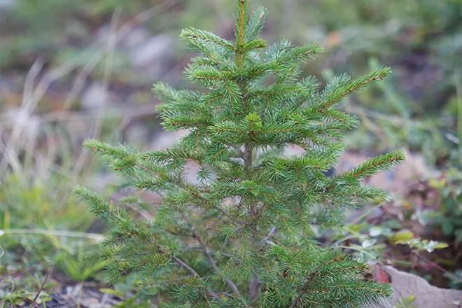
National Forest managers, partners and volunteers in northern Colorado have been hard at work this summer tackling fire and flood recovery work across the vast landscape of the Arapaho and Roosevelt National Forests. Tens of thousands of burned hazard trees have been mitigated. Hundreds of miles of roads and trails have been stabilized. Fire containment lines have been restored. Culverts have been cleared of debris. And aerial mulching has occurred in critical areas.
As a result of the efforts of multiple collaborative post-fire recovery across northern Colorado, the Arapaho and Roosevelt National Forests have reopened more areas that have been closed since last year’s wildfires and this summer’s monsoons. These areas include Long Draw Road in the Cameron Peak Fire area, the Keyser Ridge area on the Williams Fork Fire in Grand County and the western side of Stillwater Pass off Colo. 125, which experienced significant impacts from the summer monsoons following the East Troublesome Fire.
“So much great work has been done with partners, volunteers, and Forest Service Staff to stabilize and rehabilitate the burned areas this year,” said Deputy Forest Supervisor Aaron Mayville. “While there is still more work to do, we are particularly glad to be able to open this terrain for hunters in advance of archery and muzzleloader seasons.”
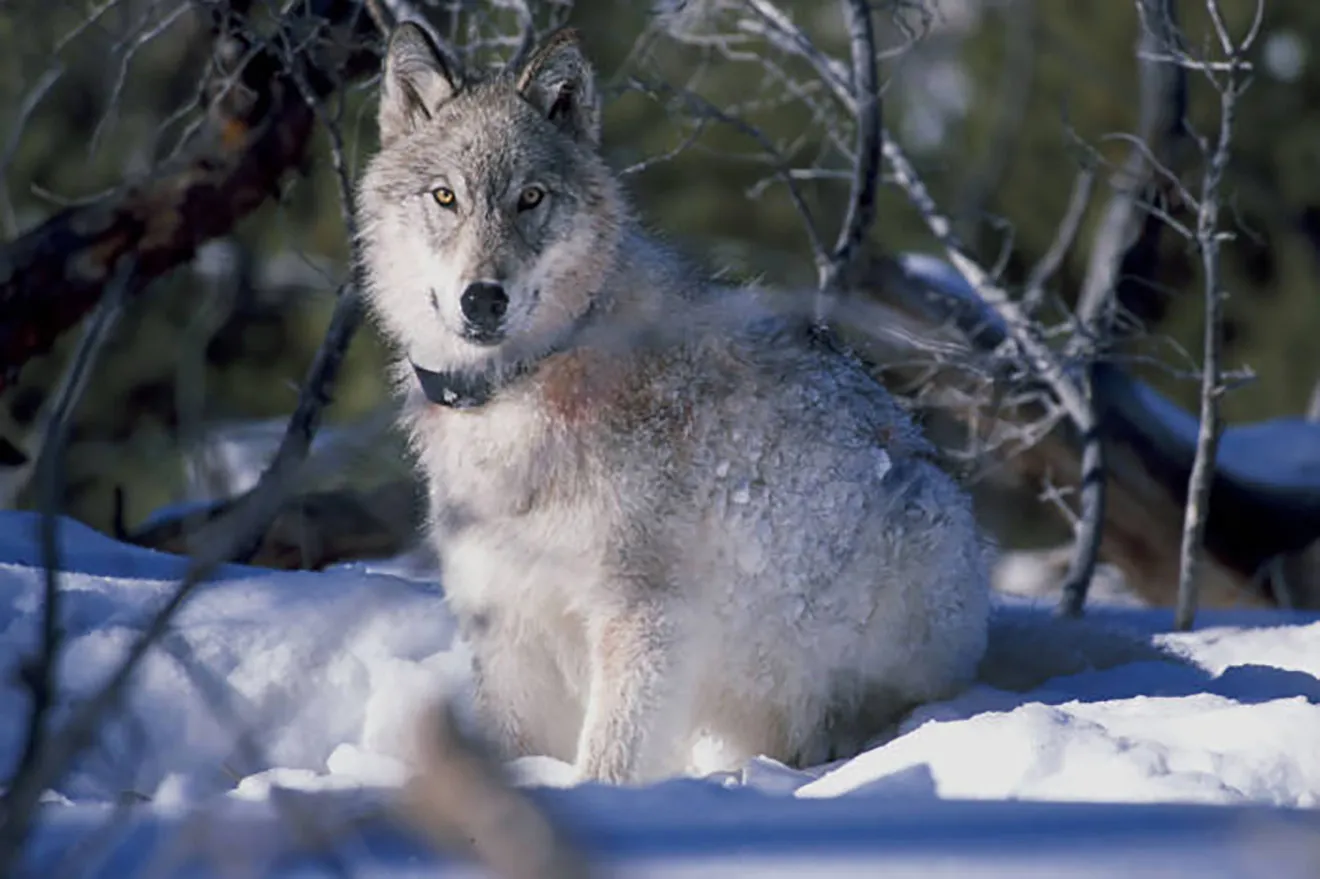
“Public land access is critical for our hunting public to have the ability to scout, camp and harvest an animal during their hunting seasons,” said Mark Leslie, area wildlife manager with Colorado Parks and Wildlife. “Our hope is that hunters who were impacted by the public land closures last year will be back out in the field this fall helping us manage local wildlife populations. The reopening of these areas for hunting season is great news.”
While many areas are reopening, the public is reminded that burned areas contain many critical hazards. Loose debris can roll down hillsides and burned trees can fall without notice. Unseen hazards such as burned stumps exist off roads and trails. And rainstorms can cause rapid landslides. Be sure to check local weather information and monitor for the risk of flooding in burned areas. Your safety is your responsibility. Many areas are open to foot-travel only to allow recovering soils to stabilize and vegetation to grow.
Additionally, some areas remain closed due to extensive damage and continued rehabilitation work with heavy equipment, including the Crown Point area in Larimer County, and Kinney Creek Road, Cabin Creek Road and Kaufman Creek Road in Grand County, which all experienced extreme damage during the monsoons. The public is asked to stay out of closed areas both for safety and to prevent further damage and allow recovery work to occur. Active fire recovery operations, such as helicopter mulching, may take place in open areas. The public should avoid these areas while work is taking place.
To see maps of what areas are open as well as important fire restrictions and food storage requirements, please visit the Arapaho and Roosevelt National Forests’ Know Before You Go page. To learn more about Colorado Parks and Wildlife please visit https://cpw.state.co.us/thingstodo/Pages/hunt.aspx.
The Medicine Bow and Routt National Forests border the Arapaho and Roosevelt National Forests to the north and west. For information on those areas, visit www.fs.usda.gov/mbr.