Severe storms with 70 mph gusts possible Saturday as Cheyenne Wells hits 100

Cheyenne Wells faces a volatile Saturday, with sunshine driving the high to near 100 degrees before a slight chance of afternoon thunderstorms — and forecasters warn that any storm that forms could turn severe, with wind gusts up to 70 mph, blowing dust and fire-starting dry lightning. Sunday brings more heat, climbing to about 102 as the hottest day of the stretch.
Saturday is sunny and hot with a high near 100 and southwest winds of 5 to 15 mph. A 20 percent chance of showers and thunderstorms arrives between 2 p.m. and 5 p.m., with another brief window around 8 p.m. to 9 p.m. Saturday night before skies turn mostly clear with a low around 66.
"Sunday is forecast to be the hottest day with the entire CWA expected to reach above 100 degrees," a meteorologist with the National Weather Service forecast office in Goodland, Kan., wrote in Saturday's Area Forecast Discussion, referring to the office's county warning area covering the Tri-State region.
Severe wind, dust and critical fire weather in play Saturday
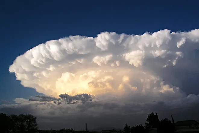
Goodland forecasters say confidence in storm development is higher than in recent days, though rain chances remain modest at 15 to 25 percent because storms will be high-based over very dry ground. Damaging winds up to 70 mph are the primary hazard, with hail possibly reaching ping-pong-ball size in a worst case, and localized dust storms — potentially an organized dust wall, or haboob, if outflows organize. The office also forecasts a few hours of critical fire weather conditions late Saturday morning into the afternoon for counties along the Kansas-Colorado state line, with humidity in the low to mid teens favoring Cheyenne County among others, and warns of dry lightning igniting new fires. No formal watches, warnings or advisories are in effect for Cheyenne County.
Cheyenne Wells, Colo. — Five-day forecast (Aug. 8-12, 2026)
Source: National Weather Service, Goodland, Kan. — Issued Aug. 8, 2026
| Period | Sky Conditions | High/Low | Wind |
|---|---|---|---|
| Saturday | Sunny, hot; 20% t-storms 2-5 p.m. | High 100 | SW 5-15 mph |
| Saturday night | 20% t-storms 8-9 p.m.; mostly clear | Low 66 | S 5-10 mph |
| Sunday | Mostly sunny and hot | High 102 | W 5-10 mph, becoming E |
| Sunday night | Partly cloudy | Low 66 | SE near 5 mph, becoming SW |
| Monday | Mostly sunny and hot | High 100 | W near 5 mph, becoming SE |
| Monday night | 20% t-storms early; partly cloudy | Low 64 | Light |
| Tuesday | Sunny and hot | High 99 | Light |
| Tuesday night | 20% t-storms early; partly cloudy | Low 63 | Light |
| Wednesday | 20% p.m. t-storms; partly sunny | High 92 | Light |
| Wednesday night | Showers likely (60%); mostly cloudy | Low 60 | Light |
(Kiowa County Press)
Hottest day Sunday, heat lingers Monday
Sunday is mostly sunny and hot with a high near 102 as west winds turn east in the afternoon; Sunday night is partly cloudy with a low around 66. Monday stays mostly sunny and hot with a high near 100, followed by a 20 percent chance of evening thunderstorms and a low around 64.
Extended outlook: cold front starts a cooldown, rain arrives midweek
Tuesday is sunny and hot with a high near 99, with another 20 percent storm chance Tuesday night as a weak cold front moves through and starts a cooling trend. Wednesday is partly sunny with a high near 92 and a 20 percent chance of afternoon storms, then showers become likely — a 60 percent chance — Wednesday night. Storm chances continue nightly into next weekend with highs falling to the 80s by Friday.
With triple-digit heat through Monday and the potential for sudden severe winds and dust Saturday afternoon, residents should stay weather-aware, secure loose outdoor items, limit strenuous afternoon activity, stay hydrated, and check on neighbors, the elderly, pets and livestock.