Storm chance Friday night, then a hot, sunny stretch for Eads and Kiowa County

Eads and western Kiowa County can expect a warm, mostly sunny weekend, with a chance of showers and thunderstorms Friday evening giving way to dry, increasingly hot conditions through the middle of next week. Friday brings sunny skies and a high near 90, followed by highs in the low to mid 90s Saturday and Sunday under a strengthening ridge of high pressure.
Friday will be sunny with a high near 90 and northwest winds of 5 to 15 mph turning to the east in the afternoon. Friday night carries a 50 percent chance of showers and thunderstorms, mainly before 8 p.m., before skies gradually clear and temperatures fall to a low around 59.
Eric Petersen, a meteorologist with the National Weather Service in Pueblo, wrote in Friday's Area Forecast Discussion that "hot and dry conditions build Sunday into next week," with moisture and thunderstorm chances potentially returning to areas near the Continental Divide by the middle to end of next week.
Storm risk Friday afternoon and evening
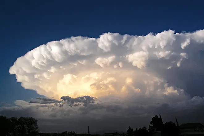
The main weather story is a round of afternoon and evening thunderstorms Friday, with the strongest storms expected across the far southeastern plains east of Interstate 25. Forecasters said the greatest severe risk, capable of large hail and damaging wind gusts, sits over the far southeastern corner of the state, with Baca and Prowers counties at the highest risk. Kiowa County carries a lower but non-zero chance of a strong storm before the activity pushes east into Kansas after dark.
Eads, Colo. — Five-day forecast (July 10-14, 2026)
Source: National Weather Service, Pueblo, Colo. — Issued July 10, 2026
| Period | Sky Conditions | High/Low | Wind |
|---|---|---|---|
| Friday | Sunny | High 90 | NW 5-15 mph, then east |
| Friday Night | Storms likely early, then clearing | Low 59 | N-NE 5-10 mph |
| Saturday | Sunny | High 93 | N 5-10, then SE 10-15 |
| Saturday Night | Mostly clear | Low 60 | E-SE 5-15 mph |
| Sunday | Sunny | High 94 | SE 5-15 mph |
| Sunday Night | Clear | Low 61 | E-SE 10-15 mph |
| Monday | Sunny, breezy | High 93 | SE 10-20, gusts 30 |
| Monday Night | Clear, breezy | Low 61 | SE ~20, gusts 30 |
| Tuesday | Sunny, breezy | High 93 | SE 15-20, gusts 35 |
| Tuesday Night | Clear, breezy | Low 61 | SE 15-20 mph |
(Kiowa County Press)
Saturday and Sunday
Saturday will be sunny with a high near 93 as winds shift to the southeast at 10 to 15 mph. Saturday night stays mostly clear with a low around 60. Sunday warms further to a high near 94 under sunny skies, with southeast winds increasing to 10 to 15 mph in the afternoon and an overnight low around 61.
Extended outlook
The heat and sunshine hold into the new week. Monday and Tuesday both bring sunny skies and highs near 93, but breezy southeast winds of 10 to 20 mph pick up, with gusts as high as 30 to 35 mph. Overnight lows hold near 61 with breezy conditions continuing.
With dry fuels and gusty afternoon winds building next week, residents should stay alert to changing fire conditions and follow any local restrictions on open burning.