Storms build over Lamar through midweek as highs near 90 in Prowers County

Kiowa County Press Staff
(Kiowa County Press)
Lamar warms to near 90 Monday with breezy south winds and a building chance of afternoon and evening thunderstorms, the start of an unsettled stretch that turns wetter Tuesday and Wednesday. Forecasters say storms developing across Prowers and Baca counties Monday could become strong to severe where they take hold.
Monday is expected to be sunny and warm, with a high near 90 and east winds of 5 to 10 mph becoming south-southeast at 15 to 20 mph in the afternoon, gusting to around 30 mph. A slight chance of showers begins by mid-afternoon, increasing to a 30 percent chance of showers and thunderstorms after about 3 p.m. and continuing into Monday night.
“HREF paintballs show convection developing along the Palmer Divide and across Baca/Prowers counties in the afternoon and rolling eastward through the evening,” a meteorologist with the National Weather Service in Pueblo wrote in Sunday's Area Forecast Discussion, adding that storm coverage across southeast Colorado “looks pretty isolated but parameters would be in place for a strong to severe storm if they can develop.”
Storm chances increase Monday into midweek
A front sliding south across the southeast plains Monday morning sets the stage for afternoon storms, with Prowers County among the areas the Pueblo office is watching for convection. The cooler air stays mostly to the north, allowing Lamar to warm a few degrees compared with the weekend.
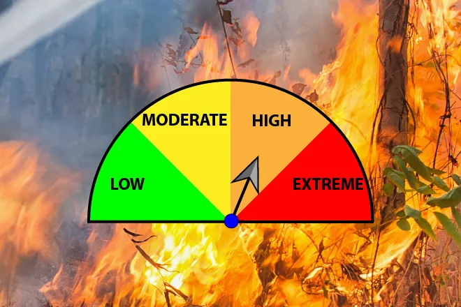
No fire weather watches or warnings are in effect for Prowers County, which lies in fire weather zone 236. Forecasters noted that afternoon humidity will fall below the 15 percent threshold across the southeast plains at times, but that fuels are too moist or too green for fire weather highlights. With highs near 90 and gusty winds, residents should still use caution with any open flames or equipment that could throw sparks.
Lamar, Colo. — Five-day forecast (June 1–5, 2026)
Source: National Weather Service, Pueblo — Issued May 31, 2026
| Period | Sky conditions | High / Low | Wind |
|---|---|---|---|
| Monday | Sunny; slight chance of p.m. storms | High 90 | E 5–10 mph, becoming SSE 15–20, gusts 30 |
| Monday Night | Partly cloudy; chance of thunderstorms | Low 54 | ESE 10–20 mph, gusts 30 |
| Tuesday | Partly sunny; 40% showers, thunderstorms | High 86 | ESE 15–20 to SSE 20–25, gusts 40 |
| Tuesday Night | Mostly cloudy; 50% thunderstorms | Low 53 | SSE 15–20 mph, gusts 35 |
| Wednesday | Mostly cloudy; 50% showers, thunderstorms | High 84 | S 10–25 mph, gusts 40 |
| Wednesday Night | Mostly cloudy; 50% thunderstorms | Low 54 | SSE 10–15 mph |
| Thursday | Partly sunny; slight chance of storms | High 88 | S 10–15 mph |
| Thursday Night | Mostly cloudy | Low 55 | SSE 10–15 mph |
| Friday | Partly sunny | High 90 | SSE 5–10 mph |
| Friday Night | Partly cloudy | Low 56 | SE 5–10 mph |
(Kiowa County Press)
Tuesday and Wednesday
Tuesday turns breezy and a touch cooler, with a high near 86, a 40 percent chance of showers and thunderstorms after noon and south-southeast winds building to 20 to 25 mph, gusting to around 40 mph in the afternoon.
Wednesday brings the best storm chances of the week, with a high near 84, breezy south winds gusting to 40 mph and a 50 percent chance of showers and thunderstorms. Forecasters say slower-moving storms midweek could produce locally heavy rainfall.
Extended outlook
Drier and warmer weather is expected to return late in the week. Thursday should be partly sunny with a high near 88 and only a slight chance of storms, and Friday looks partly sunny and warm with a high near 90 and lighter south-southeast winds.
The Pueblo office expects plains highs to remain in the upper 80s to around 90 through the period, with storm activity becoming more confined to isolated afternoon storms, mainly over the mountains, heading into the weekend.
With storm chances each afternoon and evening from Monday through Wednesday, residents should stay weather-aware, as strong storms could bring large hail, gusty winds and brief heavy rain.