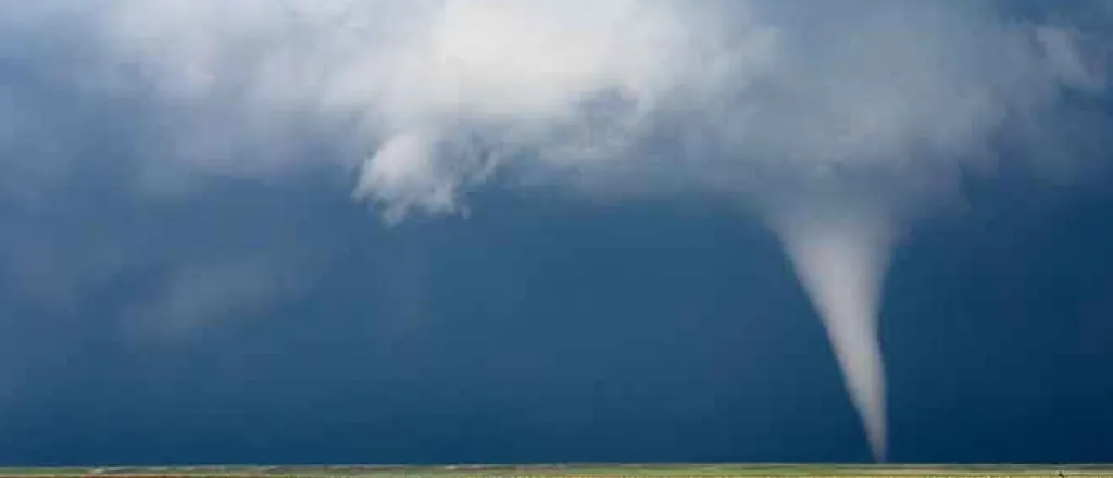
April and May both record a significant number of tornadoes, but will this trend continue in June? Rod Bain reports.
PARTICIPANTS: Rod Bain and USDA meteorologist Brad Rippey
Transcript
USDA meteorologist Brad Rippey admits, if we had talked back on April 1st, we would not have been talking a whole lot about severe weather in January, February or March with only 160 tornadoes in the first three months of this year, a below average total.
Yet over the past two months, tornadic activity in the US has been near record setting.
By the time we got to the end of April, we had seen based on preliminary reports 384 tornadoes, which ranked as the second most ever behind the record setting 875 that we saw back in April 2011.
And then a more active May was reported tornado wise.
We actually saw a preliminary tally of 552 tornadoes during the month of May.
Perhaps even more remarkable is that we saw a tornado somewhere in the United States on 29 of the 31 days during the month of May.
The only days that were void of tornado activity May 15th and May 18th.
If that preliminary May tornado count holds historically, that compares just like April as the second most tornadic May in record going back to the mid 20th century 1950.
Rippy acknowledges storms could be consolidated to reduce the total counts, yet both months should still be near record setting number wise.
As for locations where much of the activity was concentrated, the two big strips.
When you look at all these tornado reports on a map, there's one area stretching from the central Great Plains into the upper Midwest and then a second pretty much parallel path running from the southern Great Plains into the Ohio Valley.
And that is the two big concentrations of tornadoes.
So what is the potential for an active June from an active weather standpoint?
As some time this week, it looks like the weather pattern is going to settle down.
The big change is that we have a large ridge or dome of high pressure building across the Western United States and.
Concurrently, will have a big dip in the jet stream across the eastern half of the country.
That is pretty much the opposite pattern that we've been seeing for quite a while where we have more of a bit of a dip in the jet stream across the Northwest and that has been a big thing since April and May thunderstorms they come in through the Northwest and then they just erupt across the nation's midsection.
So with this change in weather patterns, we are going to see a much more stable jet stream configuration across the United States, cooler and generally drier weather moving into the central United States, and then we'll see hot and dry weather in the West.
I'm Rod Bain reporting for the US Department of Agriculture in Washington, DC.

