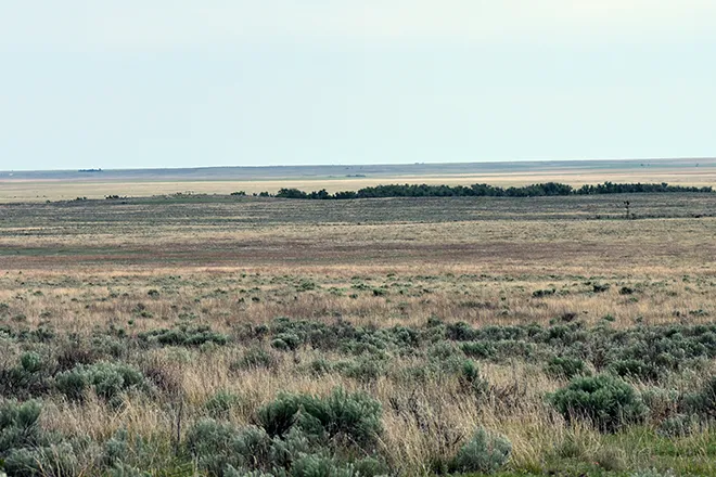
Cheyenne County faces another round of severe storms Wednesday night

Showers and thunderstorms are likely over Cheyenne County again Wednesday night, some of them possibly severe, before a stretch of sunny days pushes highs from the middle 80s into the lower 90s by Friday, the National Weather Service in Goodland, Kan., said.
Wednesday is sunny at Cheyenne Wells with a high near 85 degrees. West winds around 5 mph shift to the east during the afternoon. Showers and thunderstorms become likely Wednesday night, mainly before midnight, under mostly cloudy skies with a low around 60. The chance of precipitation is 60 percent, and east winds around 5 mph turn to the south in the evening.
"Severe weather potential continues Wednesday afternoon and evening," a meteorologist with the National Weather Service forecast office in Goodland, Kan., wrote in Tuesday's Area Forecast Discussion. Forecasters said storms that develop are likely to form in an environment supporting hail around an inch in diameter and wind gusts of 50 to 70 mph.
Severe storm potential Wednesday night
Forecasters said the main batch of storms Wednesday will likely arrive from the west after developing along the Front Range, with a smaller chance that isolated storms form over Cheyenne County itself. If a supercell develops before storms cluster together, hail of 2 inches or larger could be possible. The severe threat is expected to be largely confined to the evening hours, though outflow from earlier storms could allow additional storms to develop and linger overnight.
No Red Flag Warning or fire weather watch is in effect for Cheyenne County or anywhere else in the Goodland office's Colorado forecast area. The office listed no watches, warnings or advisories for Colorado in Tuesday's discussion. A Severe Thunderstorm Warning was in effect briefly Tuesday afternoon, but it expired the same evening.
Higher pressure and cooler air are expected to hold highs in the 80s on Wednesday and Thursday, with a broad pressure gradient keeping winds generally around 5 to 10 mph.
Cheyenne Wells, Colo. — Five-day forecast (Aug. 26-30, 2026)
Source: National Weather Service, Goodland, Kan. — Issued Aug. 25, 2026
| Period | Sky Conditions | High/Low | Wind |
|---|---|---|---|
| Wednesday | Sunny | High 85 | West around 5 mph, becoming east in the afternoon |
| Wednesday Night | Mostly cloudy, showers and thunderstorms likely (60%) | Low 60 | East around 5 mph, becoming south in the evening |
| Thursday | Sunny | High 86 | South 5 to 10 mph |
| Thursday Night | Mostly clear, 20% chance of showers and thunderstorms | Low 61 | Not specified |
| Friday | Sunny | High 91 | Not specified |
| Friday Night | Partly cloudy | Low 64 | Not specified |
| Saturday | Mostly sunny | High 95 | Not specified |
| Saturday Night | Partly cloudy | Low 65 | Not specified |
| Sunday | Mostly sunny | High 92 | Not specified |
| Sunday Night | Mostly cloudy, 40% chance of showers and thunderstorms | Low 61 | Not specified |
(Kiowa County Press)
Thursday and Friday
Thursday is sunny at Cheyenne Wells with a high near 86 and south winds of 5 to 10 mph. Forecasters put the chance of afternoon and evening storm development at about 30 percent; if a storm does form, large hail and wind gusts of 60 to 70 mph would again be possible. Thursday night is mostly clear with a low around 61 and a 20 percent chance of showers and thunderstorms before midnight.
Friday turns sunny and warmer, with a high near 91. Forecasters said the better storm forcing Friday is expected to stay north of the area. Friday night is partly cloudy with a low around 64.
Extended outlook
Saturday is mostly sunny and hot, with a high near 95 at Cheyenne Wells and an overnight low around 65 under partly cloudy skies.
Sunday remains mostly sunny with a high near 92, but a trough moving in from the Intermountain West is expected to bring a more active pattern. Sunday night carries a 40 percent chance of showers and thunderstorms under mostly cloudy skies with a low around 61.
With severe storms possible again Wednesday evening, residents should have a way to receive warnings after dark and be prepared to move indoors quickly. Large hail and damaging wind gusts are the primary threats.