Cheyenne Wells to hit 102 Monday as fire danger rises across Cheyenne County

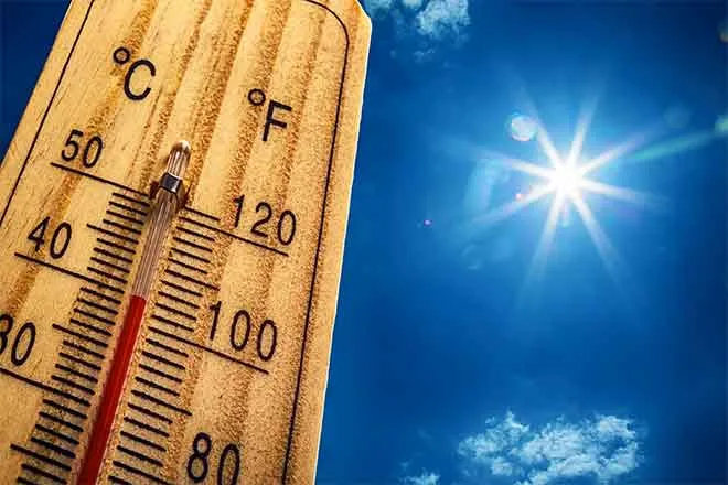
A sunny, progressively hotter stretch is ahead for Cheyenne Wells, with highs near 91 Friday and Saturday rising to 96 Sunday and 102 Monday, while forecasters warn of increasing fire danger to start the week, according to the National Weather Service in Goodland, Kansas.
Friday brings sunny skies and a high near 91, with a breezy north wind of 10 to 20 mph gusting as high as 30 mph behind an overnight cold front. Friday night will be mostly clear with a low around 59 as northeast winds of 5 to 10 mph become light and variable in the evening.
"Slightly higher fire danger on Sunday and Monday with relative humidity in the teens and 20s while winds gust around 20-30 mph," a meteorologist with the National Weather Service forecast office in Goodland, Kan., wrote in Friday's Area Forecast Discussion, adding that the extended forecast "is looking to be hot, dry, and windy."
Fire weather concerns build for Sunday and Monday
No fire weather watches or warnings were in effect for Cheyenne County as of Friday morning, but the Goodland office flagged Monday in particular for elevated fire weather potential. Highs in the upper 90s to low 100s, relative humidity dipping into the high teens and low 20s, and wind gusts of 20 to 40 mph are possible across the region.
Forecasters said grassland fire danger index values over eastern Colorado would promote very high fire growth, and noted an additional threat of dry lightning from any thunderstorms that develop. Residents should avoid activities that can spark fires, such as outdoor burning or dragging trailer chains, through the early part of the week.
Cheyenne Wells, Colo. — Five-day forecast (July 31-Aug. 4, 2026)
Source: National Weather Service, Goodland, Kan. — Issued July 31, 2026
| Period | Sky Conditions | High/Low | Wind |
|---|---|---|---|
| Friday | Sunny | High 91 | North 10-20 mph, gusts to 30 mph |
| Friday Night | Mostly clear | Low 59 | Northeast 5-10 mph, becoming light and variable |
| Saturday | Sunny | High 91 | Calm, becoming east around 5 mph |
| Saturday Night | Clear | Low 59 | East 5-10 mph, becoming south after midnight |
| Sunday | Sunny | High 96 | South 10-15 mph |
| Sunday Night | Clear | Low 64 | Light winds |
| Monday | Sunny, hot | High 102 | Light winds; gusts 20-40 mph possible regionally |
| Monday Night | Partly cloudy | Low 64 | Light winds |
| Tuesday | Mostly sunny | High 92 | Light winds |
| Tuesday Night | Partly cloudy, 20% storms early | Low 60 | Light winds |
(Kiowa County Press)
The weekend: sunny and warming
Saturday stays sunny with a high near 91, and winds turn much lighter — calm in the morning before becoming east around 5 mph in the afternoon. Saturday night will be clear with a low around 59.
Sunday warms to a high near 96 under sunny skies with south winds of 10 to 15 mph. Sunday night stays clear with a low around 64. Humidity begins falling into the teens and 20s Sunday afternoon, nudging fire danger upward.
Extended outlook: Monday and Tuesday
Monday is forecast to be the hottest day, sunny and hot with a high near 102 and a low around 64 under partly cloudy skies Monday night. Forecasters cautioned that gusty winds and very low humidity could combine for elevated fire weather conditions during the afternoon.
Tuesday brings mostly sunny skies and a slightly cooler high near 92. A 20 percent chance of showers and thunderstorms arrives Tuesday night before midnight, with partly cloudy skies and a low around 60.
With triple-digit heat and elevated fire danger expected Monday, residents should postpone outdoor burning, stay hydrated, and check on neighbors, children, pets, and livestock during the hottest part of the day.