Lamar heads for triple-digit heat with storm chances Wednesday night

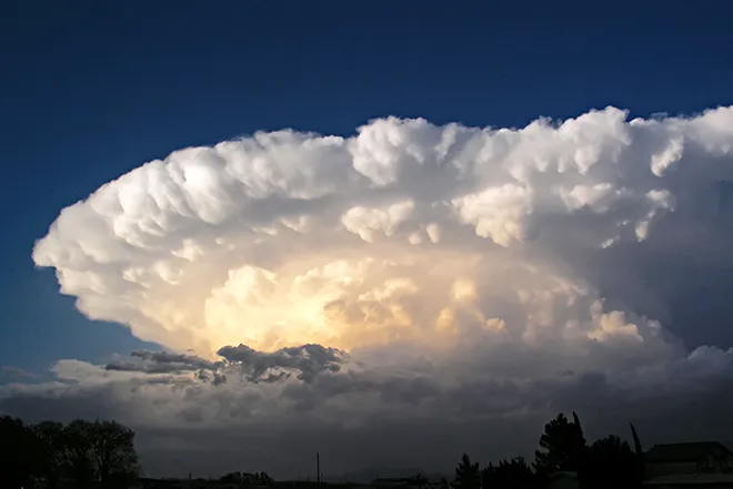
Heat builds across Prowers County this week, with Lamar reaching near 97 degrees under sunny skies Wednesday and hitting 100 Thursday, according to the National Weather Service in Pueblo. Showers and thunderstorms remain in the picture Wednesday night before drier, hotter weather takes over Thursday and Friday, when the high should reach about 98.
Wednesday will be sunny with a high near 97 as west winds of 5 to 15 mph become east during the morning. A 50 percent chance of showers and thunderstorms follows Wednesday night, mainly before 11 p.m., with skies becoming mostly clear and a low around 64. Precipitation amounts of less than a tenth of an inch are expected, though thunderstorms could produce more.
The midweek storm chances come on the heels of an active Tuesday across southeast Colorado. Attention then turns to the end of the week, when "we may see some organized severe storms over the eastern plains" Friday, meteorologist Stephen Hodanish of the National Weather Service in Pueblo wrote in Tuesday's Area Forecast Discussion, citing a stronger disturbance and strengthening winds aloft.
Triple digits Thursday, hotter still early next week
Thursday's forecast high of 100 in Lamar kicks off a hot stretch that continues through the weekend and beyond, with 96 Saturday, another run at 100 Sunday and a forecast high near 103 Monday.
No fire weather warnings are in effect for Prowers County. However, the combination of triple-digit heat, breezy south-southeast winds gusting to 35 mph Sunday and drying vegetation could bring elevated fire danger to the area heading into early next week.
Lamar, Colo. — Five-day forecast (July 29-Aug. 2)
Source: National Weather Service, Pueblo — Issued July 28, 2026
| Period | Sky Conditions | High/Low | Wind |
|---|---|---|---|
| Wednesday | Sunny | High 97 | West 5-15 mph, becoming east in the morning |
| Wednesday Night | 50% chance t-storms, then mostly clear | Low 64 | Southeast 5-15 mph, becoming northwest in the evening |
| Thursday | Sunny and hot | High 100 | Southwest 5-10 mph, becoming NNE in the afternoon |
| Thursday Night | 20% chance t-storms, partly cloudy | Low 65 | NNE around 5 mph, becoming west after midnight |
| Friday | Sunny | High 98 | NNW 5-15 mph, becoming east in the afternoon |
| Friday Night | 30% chance t-storms, partly cloudy | Low 62 | East 5-10 mph |
| Saturday | Sunny | High 96 | Southeast 10-15 mph |
| Saturday Night | Clear | Low 63 | ESE 10-15 mph |
| Sunday | Sunny and hot | High 100 | Breezy, SSE 15-20 mph, gusts to 35 mph |
| Sunday Night | Mostly clear | Low 67 | Breezy, southeast around 20 mph, gusts to 35 mph |
(Kiowa County Press)
Thursday and Friday
Thursday will be sunny and hot with a high near 100 as southwest winds of 5 to 10 mph turn north-northeast in the afternoon. Thursday night brings a 20 percent chance of storms before midnight under partly cloudy skies with a low around 65.
Friday remains sunny with a high near 98 and north-northwest winds of 5 to 15 mph becoming east in the afternoon. A 30 percent chance of showers and thunderstorms returns Friday night, mainly before midnight, with partly cloudy skies and a low around 62.
Extended outlook: Saturday and Sunday
Saturday looks sunny with a high near 96 and southeast winds of 10 to 15 mph, followed by a clear night around 63. Sunday turns hot and breezy again — sunny with a high near 100 and south-southeast winds of 15 to 20 mph gusting to 35 mph. Sunday night is mostly clear with a low around 67, and Monday could be the hottest day of the stretch with a forecast high near 103.
With highs at or above 100 degrees several days this week, residents should limit outdoor work to morning hours where possible, drink plenty of water and check on neighbors without air conditioning.