'FracTracker' maps pipeline effects on Indigenous land
Click play to listen to this article.
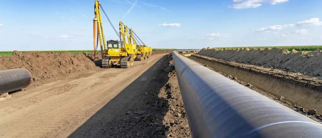
(Iowa News Service) A nonprofit group that tracks oil and gas development has created an interactive map to show how close CO2 pipelines in Great Plains states come to environmentally and ecologically sensitive areas.
The map includes Indigenous land that hasn't been included in similar previous projects.
Ted Auch, Midwest program director for the FracTracker Alliance, said it focuses on Indigenous areas but goes further, showing in detail how close proposed CO2 pipelines would come to soybean and ethanol facilities, for example, but also to private land.

He said the interactive map is an improvement over existing ones.
"Which is to say that you could look at it as a static image, but you can't interact with or manipulate the data in terms of, like, scrolling in, scrolling out, finding addresses - you know, that kind of thing," said Auch. "It's available as a PDF or a JPG. So, what we've done is, we've taken that stuff and we've digitized it and we've included it on this map, so that people can actually - spatially and in real time - interact with the data itself."
The Great Plains Action Society says CO2 pipelines pose risks that disproportionately affect Indigenous communities and people of color.
Auch said FracTracker is working on another version that takes a deeper look at the proximity of pipelines to the Winnebago reservation south of Sioux City, Iowa.
Energy companies say the pipelines are a safe and effective way to capture carbon from industrial processes, and store it underground, reducing greenhouse gas emissions.
Auch said the interactive map will give farmers and other landowners near the proposed pipelines what they need to understand what's happening on their land, leveling the information playing field with corporate interests.
"You have these large, multinational corporations, and then on the other side of the ledger are small, medium-sized frontline or Indigenous groups that either have small budgets or no budgets," said Auch, "and don't have the capacity, the time, or the expertise to develop maps to inform their organizing activism or advocacy."
The Eighth Circuit Court of Appeals in Omaha is making a livestream available as it hears oral arguments today in a case involving Iowa landowners affected by CO2 pipeline proposals, some of whom face seizure of their property by eminent domain if the Summit Carbon Solutions project moves forward.


