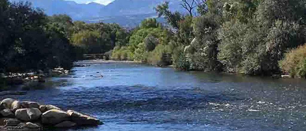
March 2023 Arkansas River Report
West Slope river basins are experiencing snowpacks well above average, and the U.S. Bureau of Reclamation is preparing to open the Fryingpan-Arkansas collection system to divert a projected 57,000 acre-feet of water from snowmelt in April. The same snowpack has lifted more than half of Colorado out of drought conditions, but most of the Arkansas River Basin has some level of drought, with "extreme" and "exceptional" drought returning in the lower basin, mainly Baca County (U.S. Drought Monitor).
Snowpack
Arkansas Basin snowpack sits at 92 percent of median (a running average of the last 20 years) for snow-water equivalent, the lowest in the state. Readings from Ark Basin SNOTEL stations range from 36 percent of median at Apishapa near Cuchara to 127 percent at St. Elmo in western Chaffee County. The Brumley SNOTEL site, near Independence Pass, reports 91 percent of median, while Fremont Pass reports 94 percent. Glen Cove, north of Pikes Peak, rebounded from 46 percent a month ago to 108 percent. Buckskin Joe in the Mosquito Range reads 62 percent. In the Sangre de Cristo Range, Hayden Pass sits at 49 percent of median.
Reservoir Storage
During the past month, Pueblo Reservoir water storage reached 68.6 percent, increasing from 217,442 acre-feet to 221,675 at the end of March. Water levels in Turquoise Lake (48.6 percent) and Twin Lakes Reservoir (71.7 percent) are intentionally low as the Bureau of Reclamation prepares to import West Slope water through the Boustead Tunnel. John Martin Reservoir increased from 35,423 acre-feet at the end of February to 38,999 acre-feet at the end of March, even though the Winter Water Storage Program ended March 14.
River Flows
The Arkansas River flow at Granite in north Chaffee County is currently 94.4 cfs. The Wellsville gauge, near Salida, reports 242 cfs, down from February. River flows at Cañon City, 225 cfs, and below Pueblo Reservoir, 71.6 cfs, have also dropped since last month. Near Avondale the river is flowing at 254 cfs, also down from a month ago. The gauge at Rocky Ford reads 120 cfs, a tenfold increase since the end of February. Current readings at John Martin Reservoir and Lamar are 0.61 cfs and 6.09 cfs, respectively.
Calling Water Rights
With the Winter Water Storage Program done for the water year, Ark Basin calling water rights increased from seven to nine, and the Welton Ditch adds its authorized diversion to that of the Maria Stevens Reservoir. Once again, the most senior calling right is the 1862 Model Ditch, which diverts Purgatoire River water. Other calling water rights are:
- Canon Heights Ditch, 1865, Fourmile Creek.
- Hamlet Ditch, 1866, Huerfano River.
- Coleman Ditch, 1867, Hardscrabble Creek.
- Widderfield Combined, 1868, Apishapa River.
- Dotson Ditch No. 1, 1868, Saint Charles River
- Smith Ditch, 1870, Taylor Creek,
- Catlin Canal, 1884, Arkansas River mainstem.
- Arkansas River Compact (with Kansas), 1949, Arkansas River mainstem.


