Producers are drawing groundwater from the giant Ogallala Aquifer faster than nature replaces it

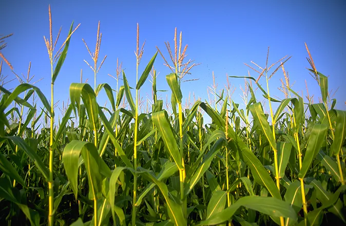
Every summer the U.S. Central Plains go dry, leading farmers to tap into groundwater to irrigate sorghum, soy, cotton, wheat and corn and maintain large herds of cattle and hogs. As the heat rises, anxious irrigators gather to discuss whether and how they should adopt more stringent conservation measures.
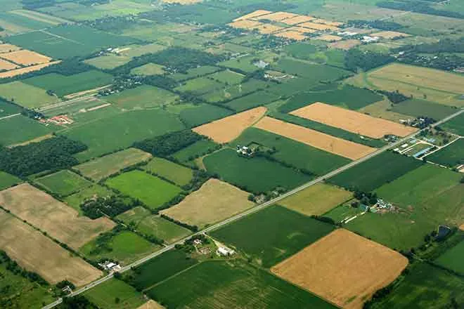
They know that if they do not conserve, the Ogallala Aquifer, the source of their prosperity, will go dry. The Ogallala, also known as the High Plains Aquifer, is one of the largest underground freshwater sources in the world. It underlies an estimated 174,000 square miles of the Central Plains and holds as much water as Lake Huron. It irrigates portions of eight states, from Wyoming, South Dakota and Nebraska in the north to Colorado, Kansas, Oklahoma, New Mexico and Texas in the south.
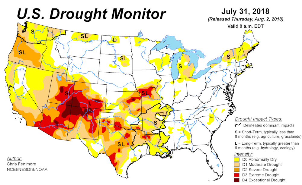
But the current drought plaguing the region is unusually strong and persistent, driving farmers to rely more on the aquifer and sharpening the debate over its future. A current assessment by the U.S. Drought Monitor, published by the University of Nebraska-Lincoln, the United States Department of Agriculture and the National Oceanic and Atmospheric Administration, shows large swaths of the southern plains experiencing drought ranging from “severe” to “exceptional.”
These worrisome prospects form the dramatic backdrop to “Ogallala: Water for a Dry Land,” now out in its third edition. In it, my fellow historians John Opie and Kenna Lang Archer and I set current debates over the Ogallala Aquifer in the context of the region’s equally conflicted past.
Draining the source
In the 1880s, farmers in the region asserted that there was a steady movement of water beneath their feet, which they called “underflow,” from the Rockies east. Geologist F.N. Darton of the U.S. Geological Survey located the first outlines of the aquifer near Ogallala, Nebraska. His discovery nourished the ambitions of farmers and irrigation promoters. One booster, William E. Smythe, visited Garden City, Kansas, and cheered the irrigated future. Pumping underground water, he told his audience, would build “little homes of pleasing architecture. We will surround them with pretty lawns and fringe them with trees and hedges … in a new Kansas dedicated to industrial independence.”

That bucolic vision took decades to realize. Windmills could only pump so much water, which constrained the amount of land farmers could put into production. And the Ogallala’s sand and gravel composition slowed the downward flow of surface waters to refill it, even in wet seasons.
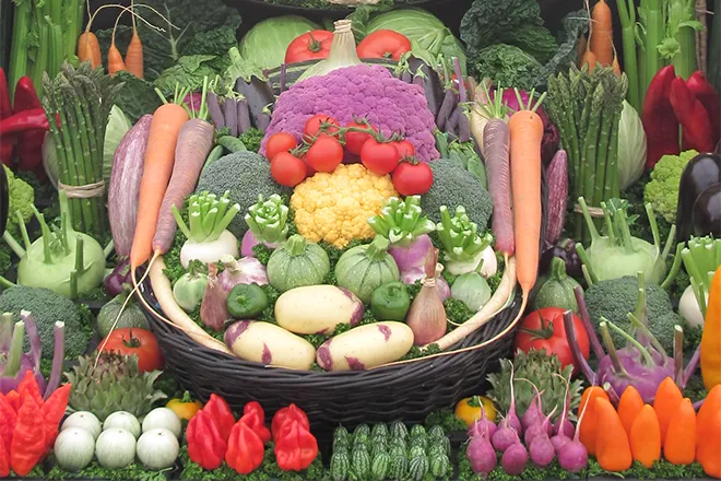
This did not matter until farmers started adopting better drilling technology, gas-powered water pumps and high-tech irrigation systems after World War II. These advances turned the Central Plains into the world’s breadbasket and meat market, annually generating US$20 billion worth of foodstuffs.
As more pumps were drilled into the aquifer to capture its flow, some started to come up dry, which led to more drilling and pumping. Between the late 19th century and 2005, the U.S. Geological Survey estimates irrigation depleted the aquifer by 253 million acre-feet – about 9 percent of its total volume. And the pace is accelerating. Analyzing federal data, The Denver Post found that the aquifer shrank twice as fast from 2011 through 2017 as it had over the previous 60 years.
The current drought is only adding to these woes. University of California-Irvine hydrologist Jay Famiglietti has identified the Ogallala region and California’s Central Valley as the two most overheated and water-starved areas in the United States.
Relying on technological fixes
This is not the first time that humans have pushed ecosystems on the Central Plains to the breaking point. Starting in the late 19th century, settler-colonists plowed up native grasses that protected the soil. When a series of intense droughts struck in the 1930s, dried-out topsoil was primed to erode in the infamous Dust Bowl. Howling windstorms widely known as “black blizzards” blotted out the sun, blowing away exposed soil and displacing much of the human population.
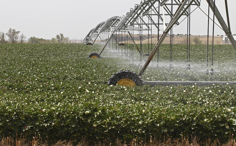
Farmers who hung on through World War II placed their hope in highly engineered solutions, such as high-powered pumps and center-pivot irrigation systems. These innovations, along with ongoing experiments to determine the most profitable kind of crops to grow and animals to raise, profoundly altered global food systems and the lives and livelihoods of Plains farmers.
Today some advocates support a similar fix for farmers’ water needs: The so-called Great Canal of Kansas, which would pump vast quantities of water from the Missouri River in the east over 360 miles west to the most arid Kansas counties. However, this project could cost up to $20 billion to build and require annual energy outlays of $500 million. It is unlikely to be constructed, and would be a Band-aid solution if it were.

The end of irrigation?
In my view, Plains farmers cannot afford to continue pushing land and water resources beyond their limits – especially in light of climate change’s cumulative impact on the Central Plains. For example, a recent study posits that as droughts bake the land, lack of moisture in the soil actually spikes temperatures. And as the air heats up, it further desiccates the soil.
This vicious cycle will accelerate the rate of depletion. And once the Ogallala is emptied, it could take 6,000 years to recharge naturally. In the words of Brent Rogers, a director of Kansas Groundwater Management District 4, there are “too many straws in too small of a cup.”
Some far-sighted farmers are responding to these interlocking challenges. Even as they pursue efficiencies in irrigation, many are shifting from water-intense crops like cotton to wheat. Still others, notably in west Texas, are converting back to non-irrigated dryland agriculture – a recognition of the stark limitations of irrigation dependency. Farmers who are depleting other aquifers in Latin America, eastern Europe, the Middle East and Asia could face similar choices.
![]()
Whether these initiatives will become widespread, or can sustain agriculture on the Central Plains, is an open question. But should instead farmers and ranchers drain the Ogallala Aquifer in pursuit of quick profits, the region may never recover.
Char Miller, W. M. Keck Professor of Environmental Analysis and History, Pomona College
This article was originally published on The Conversation. Read the original article.