Salt Lake is experiencing its second-warmest December on record

Salt Lake City has seen three of its hottest December days this month, making Utahns put their coats away — even on Christmas Day.
The Salt Lake Valley broke a record high Monday of 67 degrees and on Tuesday with 61 degrees, which surpassed the 59 degrees recorded on that date in 1933, according to the National Weather Service. Dec. 17, the office also registered a high of 67 degrees, the warmest on record.
“We have reached 67 degrees on more than one occasion already this month in Salt Lake City,” said Alex DeSmet, a meteorologist at the National Weather Service, “and that ties for the second-warmest December and also second-warmest winter temperature ever recorded.”

© legacyimagesphotography - iStock-160735792
Monday’s minimum temperature was 59 degrees as well, DeSmet said “which broke the previous warmest overnight temperature in the winter by 7 degrees. So quite, quite significant there.”
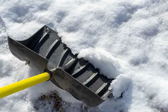
And, the odds of having a typical snow-filled Christmas Day in the Salt Lake Valley is “basically 0 percent,” according to DeSmet. But, 6 to 12 inches of snow are expected on the mountains above 8,500 feet Wednesday through Thursday night.
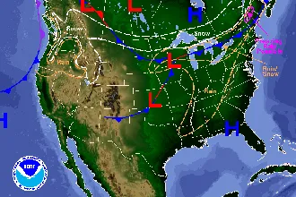
Wednesday night through Friday night, the National Weather Service is also expecting high winds with gusts up to 50 miles per hour in western Utah and Tooele Valley, potentially impacting holiday travel, since high winds may blow dust.
However, temperatures are expected to stop breaking records by Friday, DeSmet said.
The state’s ski resorts have experienced slow season beginnings, with skiers reporting soft, spring-like snow, according to ABC4. Tourists in town hoping for a powder day have also been dismayed.
The lack of snow has Utahns worried about potentially seeing worse drought levels, since about 95 percent of the state’s water supply comes from snowpack. Concern is especially high after a dry summer that left Great Salt Lake managers hoping for a strong winter for the basin.
But, “there’s a lot of winter left, fortunately,” DeSmet said, and there’s time to build the snowpack on the mountains until April, which is what’s typical for the season.
While the National Weather Service estimates temperatures will remain warmer than normal through the rest of the winter, that won’t necessarily be reflected in the snowpack.
“As far as the precipitation is concerned, it’s kind of a weaker signal. It can go either way for most of the rest of the winter,” DeSmet said.