Warming Later this Week Across Eastern Colorado
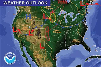
A return to more typical spring weather is expected for eastern Colorado in the coming week after a late-season storm brought wet snow and rain to the state last week.
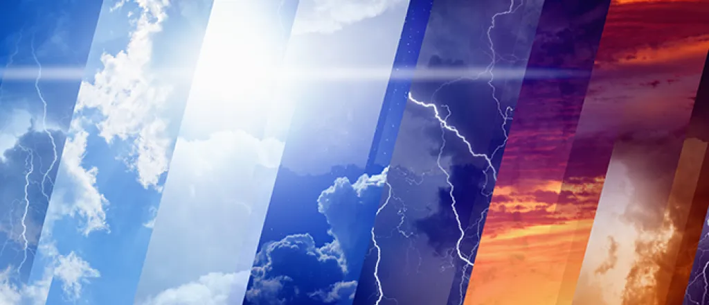
Monday and Tuesday will continue to see cool, unsettled conditions and a chance for scattered showers with a few thunderstorms as a series of cold fronts pass across the area. Temperatures will continue to hold in the 60s and 70s.
Wednesday marks the start of a drying trend and a warm up as daytime highs move to 70s and 80s under mostly sunny skies. Showers are possible in mountain areas while the plains remain largely dry. Similar conditions are expected to remain through Saturday.
Check back later in the week for a look at conditions for the Memorial Day Weekend and kickoff for summer.

