Weather Outlook – the Week Ahead

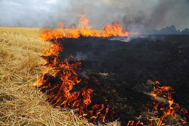
Another week starting with a Fire Weather Watch
High temperatures for the week will be mainly in the 70s starting Sunday, reaching the mid to upper 70s Monday and Tuesday.
Along with the warmer weather, winds will be gusting to 30 miles per hour during the day Tuesday and increasing to 45 mph over night – leading the National Weather Service to issue a Fire Weather Watch from 12:00 to 8:00 p.m.
The watch is in effect for all of Baca, Prowers, Kiowa, Bent, Otero and Crowley Counties, as well as most of Las Animas, Huerfano, Pueblo, El Paso and Fremont Counties. Relative humidity will fall as low as nine percent in the area, resulting in rapid growth and spread of fires that start.
Wednesday will cool slightly to the mid-60s before temperatures return to the 70s through Saturday.
In addition to the strong winds Tuesday, most of the week will be breezy, with 10 to 20 mph winds into Saturday.
Overnight temperatures are forecast to remain above freezing throughout the week, but will dip to the mid-30s Tuesday through Thursday nights.
Tuesday’s Fire Weather Watch will likely convert to a Red Flag Warning. Check back Monday afternoon for updates.