Weather Outlook – the Week Ahead
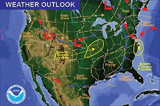
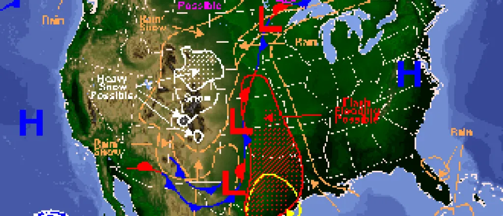
Following several days of wet weather and 3-4 inches of desperately-needed rain, an upper low pressure system continues to slowly make its way north to share precipitation with Kansas and Nebraska.
The week will gradually warm, starting with a high in the upper 40s Sunday in Kiowa County, increasing to the mid- to upper 50s through Tuesday, then steadily increasing to a high near 80 Saturday. Likewise, overnight lows start near freezing Sunday night and increase to the mid-40s by Friday night.
A rain/snow mix is in the forecast for Monday evening, with less than one-half inch expected.
Winds will be generally be much weaker through the week; in the range of 5-15 miles per hour after reaching 20 mph and gusting to 30 mph Sunday night.
Another system being watched arrives at the west coast Friday. Forecast models are currently in good agreement that it will shift north of the area, resulting in continuing warm conditions through the weekend.
Check back later in the week for updates on drought conditions and the weekend forecast.


