Wildfire in Colorado – Where do You Get Information?
(Fifth in a week-long series on flood and fire issues in Colorado. Wednesday's article can be found here.)
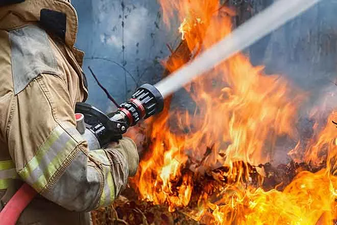
The names roll off the tongue, the 2000s have been rough years for fire in Colorado…Hayman, Four Mile, High Park, Missionary Ridge, West Fork Complex, Waldo Canyon, Black Forest, East Peak, and Royal Gorge. These are but a few of the fires we have seen in the past 10 to 15 years. Drought, pine and spruce beetle damage, increase of habitation in the urban interface, years of tight fire management have all contributed to the increase of high impact fires.
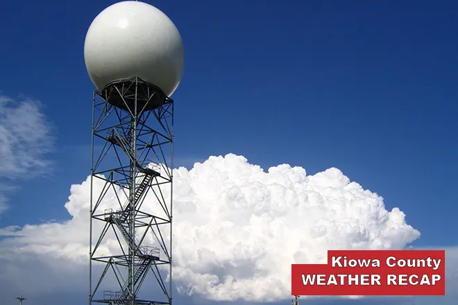
To assist in your preparation for fire, the National Weather Service provides a variety of fire weather forecast products.
Twice a day in Colorado, fire weather planning forecasts are made from each weather service office serving the state. A Fire Weather Watch may be issued if in the next 12 to 48 hours the forecast includes gusty winds of 25 mph or greater, relative humidities of less than 15 percent for at least three hours, dry lightning, or a combination of weather and fuel conditions that may make large wildfires possible. A Red Flag Warning will be issued if these same critical fire conditions are forecast within the next 24 hours.
Both Fire Weather Watches and Red Flag Warnings are issued in coordination with land management agencies. The fire weather spot program supports land management agencies for both prescribed burns and for wildfires. A fire weather spot forecast is a detailed forecast for an individual fire.
For national type 2 or type 1 fires, the National Weather Service will detail an IMET, incident meteorologist, to a fire team to provide onsite weather support and detailed fire forecasts.
If you live in the urban interface there are a number of actions you can take to reduce your personal fire threat including reducing vegetation near the home and putting a fire resistant roof on your home. More information is available from your local fire department and at http://www.ready.gov/wildfires
When a fire occurs, there may be years of increased flood threat on the burn scar, as a healthy forest can handle an inch to inch and a half of rain with no flood risk. Once the litter and vegetation is removed by fire, as little as a half inch of rain in a short period of time can cause serious, and possibly life threatening flooding.

