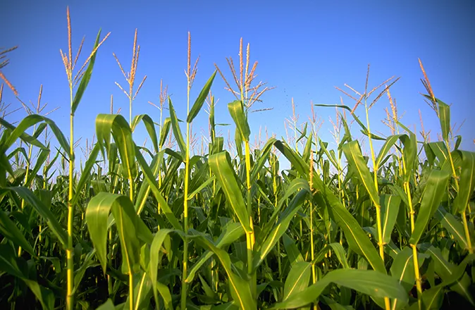
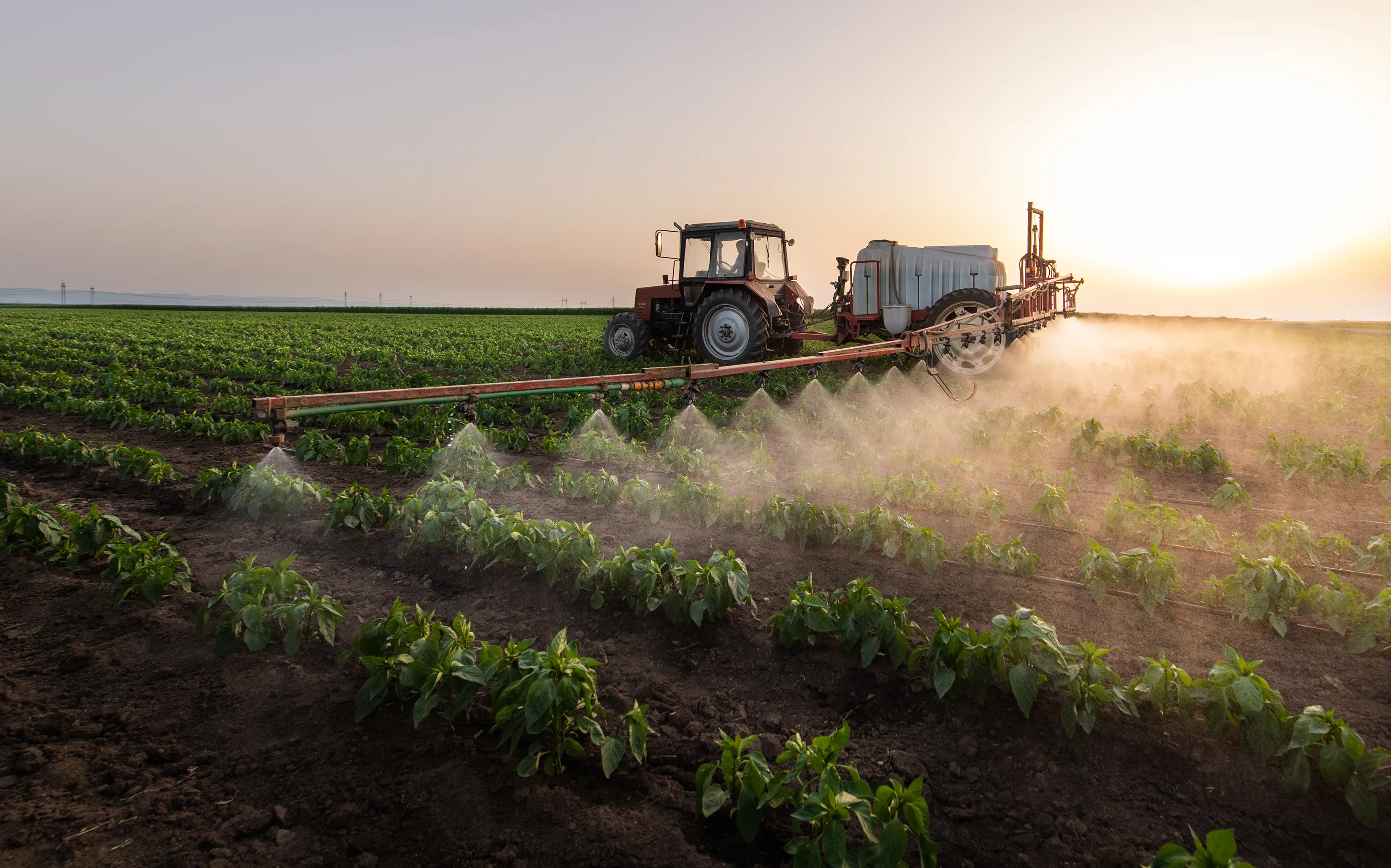
Arkansas River report – August 18, 2022

According to today's U.S. Drought Monitor report, most of the basin remains abnormally dry with severe/extreme drought persisting in portions of southern Baca County.
Precipitation
The CoCoRaHS (Community Collaborative Rain, Hail and Snow) Network reports the following precipitation amounts for the past week:
- Leadville - 1.21 inches
- Buena Vista - 0.4 - 1.1 inches
- Salida - 0.58 - 1.19 inches
- Westcliffe - 0.58 - 1.03 inches
- Cañon City - 0.64 - 0.74 inch
- Walsenburg - 0.51 - 1.52 inches
- Trinidad - 1.15 - 1.33 inches
- Pueblo - 0.01 - 0.64 inch
- Colorado Springs - 0.64 - 1.42 inches
- Rocky Ford - 0.87 - 2.35 inches
- Pritchett - 1.05 inches
- Lamar - 0.35 - 0.54 inch
Reservoir Storage
U.S. Bureau of Reclamation data shows an incremental increase in Pueblo Reservoir water storage to 185,701 acre-feet, or 57.5% full. Water storage in Turquoise Lake decreased to 102,284 acre-feet or 79.0% full. Twin Lakes storage saw a slight increase to 102,616 acre-feet, or 72.8% full, as the Bureau continues to release Fry-Ark Project water in support of the Voluntary Flow Management Program (VFMP). Water stored in John Martin Reservoir decreased to 15,090 acre-feet, according to the U.S. Army Corps of Engineers.
River Flows
Arkansas River flows near Leadville increased to 77.6 cfs this week, while the gauge below below Granite currently registers 374 cfs. Flows at the Wellsville gauge are at 573 cfs. Flows at Cañon City have decreased to 607 cfs and are 476 cfs below Pueblo Reservoir. The gauge near Avondale reports 815 cfs, and the gauge near Rocky Ford reports 124 cfs. Flows are 33.9 cfs below John Martin Reservoir and 50.4 cfs at Lamar.
River Calls
Calling water rights in the Arkansas Basin remain at 14 this week. In addition to the Arkansas River Compact call at the Kansas state line, calls on the mainstem are from the Catlin Canal (1884 priority), the Amity Canal (1887) and the X-Y Irrigating Ditch (1889). The most senior calling water rights are the O'Brien Ditch (1865) on Fourmile Creek, the Gonzales Ditch (1866) on the Apishapa River, the Coleman Ditch (1867) on Hardscrabble Creek and the Pulaski Ditch (1868) on the Purgatoire River.
Additional calling water rights include the Hill Ditch (1873) on Howard Creek, the Cottonwood and Maxwell Ditch (1874) on Cottonwood Creek, the Seth Brown Ditch (1876) on Stout Creek, the Dotson Ditch No. 1 (1881) on the St. Charles River, the Hoosier Ditch (1882) on the North Fork of the South Arkansas River and the Bott Ditch (1889) on Muddy Creek.