Breezy Saturday in Cheyenne County, then a cooler and cloudy Sunday

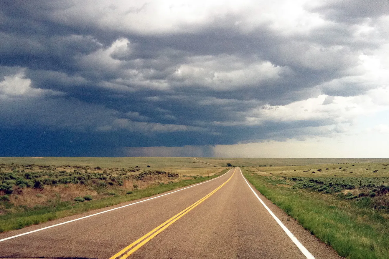
Gusty northeast winds and a warm Saturday across Cheyenne County will fade into a cooler, cloudy Sunday this weekend, with rain chances staying low and no severe weather expected, the National Weather Service says.
Cheyenne Wells can expect a sunny but breezy Saturday with a high near 85. A backdoor cold front will send northeast winds gusting to 35 mph through late morning and into the afternoon before they ease near sunset. Humidity is staying above critical levels, so forecasters say fire weather concerns are minimal for the day.
“Expect cooler temperatures this weekend,” a meteorologist with the National Weather Service forecast office in Goodland, Kan., wrote in Saturday’s Area Forecast Discussion. The office added that an overnight storm could produce hail up to 1.25 inches and gusts to 65 mph, mainly across the southern part of the area.
A cooler, quieter Sunday
Sunday brings a pleasant but overcast day, with a high near 71 as winds finally relax and gusts stay under about 23 mph. A 20 percent chance of showers lingers Saturday night and again before midnight Sunday, but the weather service does not expect severe storms.
Cheyenne Wells, Colo. — Five-day forecast (June 13–17, 2026)
Source: National Weather Service, Goodland, Kan. — Issued June 13, 2026
| Period | Sky conditions | High / Low | Wind |
|---|---|---|---|
| Saturday | Sunny, breezy | High 85 | NW 15–25 mph, becoming NE; gusts to 35 mph |
| Saturday night | Mostly cloudy; slight chance of showers | Low 49 | NE 20–25 mph, easing after midnight; gusts to 35 mph |
| Sunday | Mostly cloudy | High 71 | NE 5–10 mph, becoming SE |
| Sunday night | Mostly cloudy; 20% chance of showers | Low 47 | E 5–10 mph |
| Monday | Mostly sunny; slight chance of morning showers | High 79 | S around 5 mph |
| Monday night | Partly cloudy | Low 51 | Light |
| Tuesday | Mostly sunny | High 91 | Light |
| Tuesday night | Mostly clear | Low 59 | Light |
| Wednesday | Sunny and hot | High 101 | W, becoming NW; gusty |
| Wednesday night | Mostly clear | Low 56 | Light |
(Kiowa County Press)
Saturday and Sunday
After Saturday’s breezy warmth, Saturday night turns mostly cloudy with a low around 49 and a slight chance of showers between 2 and 5 a.m. Sunday’s cloud cover and lighter winds make for a quieter day before temperatures begin climbing again next week.
Extended outlook
Monday stays mild and mostly sunny with a high near 79, and Tuesday warms into the low 90s under mostly sunny skies. Wednesday is the day to watch: forecasters expect a high near 101 and say the heat, gusty winds and falling afternoon humidity could pose a fire weather threat, with a 20 to 35 percent chance conditions reach red flag criteria.