Cheyenne County warms to near 100 by Wednesday, fire danger climbs

Cheyenne Wells opens the week mild Monday before heat builds quickly, with highs climbing from near 80 to start the week to around 100 by Wednesday, when forecasters warn of rising fire danger across Cheyenne County.
Monday will be mostly sunny after a 20 percent chance of showers before 7 a.m., with a high near 80, according to the National Weather Service in Goodland, Kan. East winds of 5 to 10 mph will become southerly in the afternoon. A slight chance of showers and thunderstorms is possible Monday evening before skies turn mostly clear, with a low around 52.
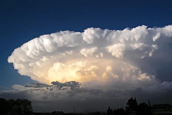
Wednesday's high temperatures may get to above 100 degrees and may pose a fire weather threat, a meteorologist with the National Weather Service forecast office in Goodland, Kan., wrote in Sunday's Area Forecast Discussion.
Midweek heat and fire weather
The week's main concern is Wednesday, when the high is forecast to reach near 100 in Cheyenne Wells and fire weather conditions could approach critical levels.
The Goodland office noted that relative humidity across much of the area could fall below 15 percent, with single-digit values possible in Cheyenne County, while sustained winds of 20 to 30 mph and gusts of 30 to 45 mph are forecast. Forecasters put the chance that conditions will meet Red Flag criteria at some point Wednesday at 30 to 40 percent, and said localized blowing dust could reduce visibility. No fire weather warnings were in effect as of Sunday.
Cheyenne Wells, Colo. — Five-day forecast (June 15–19, 2026)
Source: National Weather Service, Goodland, Kan. — Issued June 14, 2026
| Period | Sky Conditions | High/Low | Wind |
|---|---|---|---|
| Monday | Morning showers, then sunny | High 80 | E 5–10 mph becoming S |
| Monday Night | Slight chance t-storms, then mostly clear | Low 52 | SE around 5 mph becoming NW |
| Tuesday | Mostly sunny | High 89 | N around 5 mph becoming SW |
| Tuesday Night | Mostly clear | Low 60 | Light |
| Wednesday | Sunny and hot | High 100 | Gusty (fire weather threat) |
| Wednesday Night | Mostly clear, breezy | Low 56 | Breezy |
| Thursday | Sunny | High 83 | Light |
| Thursday Night | Mostly clear | Low 55 | Light |
| Friday (Juneteenth) | Sunny, breezy | High 89 | Breezy |
| Friday Night | 20% showers/t-storms, partly cloudy | Low 59 | Breezy |
(Kiowa County Press)
Tuesday and Wednesday
Tuesday will be mostly sunny and warmer, with a high near 89 and north winds around 5 mph becoming southwest in the afternoon. The low Tuesday night will be around 60. Wednesday turns sunny and hot, with a high near 100. Sustained winds of 20 to 30 mph and gusts to 45 mph are possible across the wider area, and Wednesday night will be mostly clear and breezy, with a low around 56.
Extended outlook
A cold front is expected to move through late Wednesday into Thursday, bringing temperatures back down. Thursday will be sunny with a high near 83. Friday, the Juneteenth holiday, will be sunny and breezy with a high near 89, followed by a 20 percent chance of showers and thunderstorms Friday night. Forecasters said Friday carries the strongest signal for storms late in the week, though that outlook remains uncertain this far out.
Residents are urged to take heat precautions midweek and to avoid activities that could spark a fire on Wednesday, when very low humidity, gusty winds and possible blowing dust will heighten the danger.