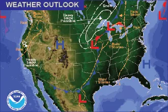
Cooler, Wet Weather Coming for the Remainder of the Week
Cooler weather, accompanied by rain for eastern Colorado and a late-season snow storm for the western half of the state, will move in later Wednesday.
Look for winds gusting to the 15 to 25 mile-per-hour range, with some areas experiencing even stronger gusts.
The heaviest areas for precipitation will be the Larimer and Weld county area where four to six inches are possible, coming in as a mix of rain and snow. Northeast Colorado can expect to see one to four inches of moisture, while the rest of the state should look for one-tenth to one inch.
Temperatures across the plains will be in the 60 and 70 Wednesday before dropping to 50s and 60s through Saturday as the potential for rain continues. Overnight lows will be in the 30s, with some areas potentially reaching down to the freezing mark. Overall, temperatures will be below seasonal norms for several days.