Fire concerns stretch into next week
The National Weather Service has issued fire weather watches through Tuesday for portions Colorado, including most western slope counties and the southeast plains. Much of the watch area is suffering under severe to extreme drought conditions.
Monday afternoon, a watch is in effect for all or portions of southeast counties, including Kiowa, Prowers, Baca, Bent, Otero, Las Animas, Huerfano, Pueblo and El Paso counties. The watch also includes Fremont, Chaffee and Lake counties in mountain areas, along with portions of Saguache, Rio Grande, Alamosa, Costilla and Conejos counties in the San Luis Valley. Southwest winds are expected to gust as high as 40 miles per hour while relative humidity drops as low as 11 percent. Temperatures are expected to be in the 90s across the eastern plains.
In the western part of the state, watches are in place for Monday and Tuesday mornings through the evening for all Colorado counties along the Colorado-Utah border and into the west central mountains. Areas below 9,000 feet will be most at risk. South wind gusts to 40 mph are possible, along with relative humidity falling to the low teens and single digits.
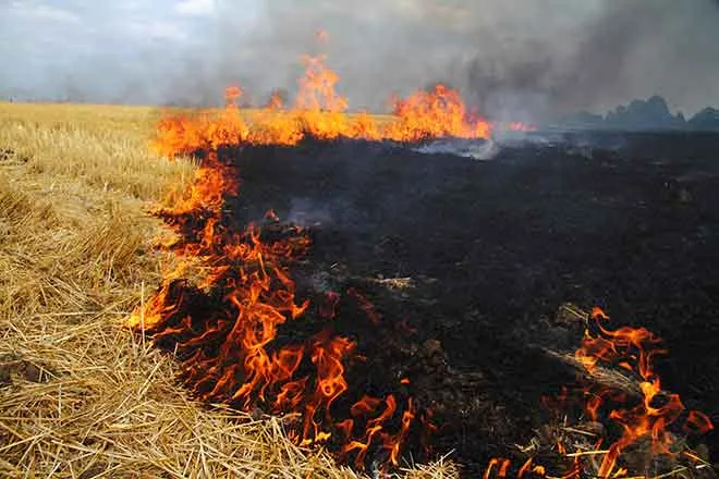
The NWS cautions that conditions will be favorable for the rapid ignition, growth and spread of fires that do occur, and strongly discourages agricultural burning.
A fire weather watch means that critical fire weather conditions are forecast to occur. Later forecasts may upgrade the watch to a red flag warning for dangerous fire potential. Outdoor burning and other activities that could spark a fire should be avoided.

