Fire danger across southeast Colorado continues Friday and Saturday
While Friday’s temperatures are expected to be below Thursday’s highs in the 70s, high fire danger continues across much of southeast Colorado, and is expected to continue into Saturday.
The National Weather Service has issued a red flag warning, which came into effect at 11:00 a.m., and is expected to continue until 7:00 p.m. Wind gusts could reach as high as 60 miles per hour while relative humidity is predicted to fall below 10 percent. Highs will mainly be in the 50s.
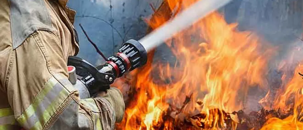
Friday’s red flag warning covers much of the same southeast Colorado area as Thursday, and adds Teller and Park counties. A fire in Park County which ignited Thursday has grown to more than 1,000 acres, and prompted evacuations. A fire near Simla also led to brief evacuation orders.
A high wind warning went into effect at 9:00 a.m. for all or portions of Las Animas, Huerfano, Pueblo, Crowley, and Otero counties, and is expected to continue through 7:00 p.m. Gusts up to 65 mph are possible.
For Saturday, a fire weather watch is in effect across the southeast region as well as the San Luis Valley. Winds ease, but may still gust to 35-40 mph. Temperatures will reach into the 60s and low 70s for the eastern plains, and 50s in the San Luis Valley.
A red flag warning means that critical fire weather conditions are either occurring now, or will shortly. A combination of strong winds, low relative humidity, and warm temperatures can contribute to extreme fire behavior.
A Fire Weather Watch means that critical fire weather conditions are forecast to occur. Listen for later forecasts and possible red flag warnings.

