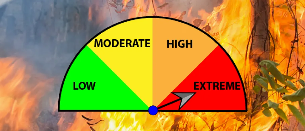
Extreme fire danger, strong wind return to eastern Colorado Thursday, Friday
Extreme fire danger and high winds are returning to the eastern plains of Colorado Thursday, with dangerous conditions continuing into Friday. The warning follows similar cautions for much of the same area Tuesday.
The National Weather Service has issued a red flag warning from 11:00 a.m. until 7:00 p.m. Thursday as high temperatures reach into the 70s, relative humidity falls below 10 percent, and wind gusts approach 60 miles per hour.
All of southeast Colorado, as well as portions of the Denver metro/front range area are under the waring, including all or portions of Baca, Las Animas, Huerfano, Pueblo, Otero, Bent, Prowers, Kiowa, Crowley, El Paso, Douglas, Elbert, Lincoln, Cheyenne, Adams, Jefferson, Arapahoe, Denver, and Boulder counties.
The red flag warning extends into Kansas, New Mexico, Oklahoma, and Texas.
A high wind warning will also be in effect from noon to 8:00 p.m. across the southern border counties with Oklahoma and New Mexico, extending into the San Luis Valley.
Red flag warnings return to southeast Colorado Friday, along with potential for heavy, wind-driven snow in the mountains. Friday’s warning is expected to resume at 11:00 a.m. and continue to 7:00 p.m.
A red flag warning means that critical fire weather conditions are either occurring now, or will shortly. A combination of strong winds, low relative humidity, and warm temperatures can contribute to extreme fire behavior.

