Fire Danger Continues Saturday While Eastern Plains Freeze
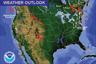
While large portions of the northeast plains of Colorado will remain below the freezing mark Saturday, mountain and foothill areas from Boulder to the Colorado-New Mexico state line will see 50s and 60s, and a risk for fire returns.
Northeast Colorado can look for highs in the mid-teens as a cold front continues to back across the plains. Further south, temperatures will be slightly warmer as Eads, Lamar and La Junta reach the upper 20s to mid-30s. Limon and Springfield will see upper 30s. A few miles west, Kim will reach the mid-50s while Trinidad, Walsenburg and Canon City will be in the 60s.
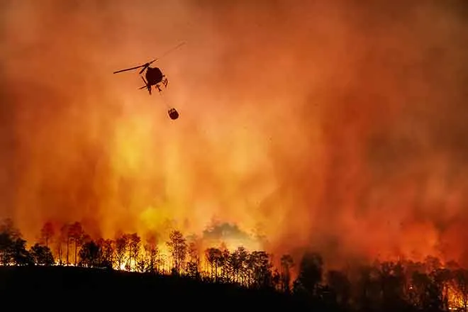
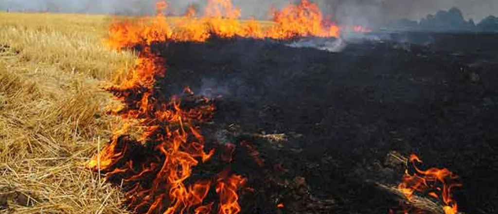
Like Friday, all of Huerfano, Custer, Fremont and Teller counties will be under a red flag warning. Portions of El Paso, Saguache, Costilla, Las Animas and Pueblo counties are also at risk for rapidly-spreading fires due to strong winds, low humidity and dry fuels. The warning will be in effect from 11:00 a.m. to 5:00 p.m.
Western Colorado will be breezy, but largely escape the cold over the plains. Highs will be in the mid-50s around Durango, Cortez and Meeker. The Grand Junction area will be slightly cooler, with a high in the upper 40s.
Colder air is expected to impact the east through Monday ahead of a warmup that starts Tuesday. By the weekend, daytime highs will move back in to the 40s for most of the area.

