Rain Friday, Mild Weekend Ahead

By Chris Sorensen
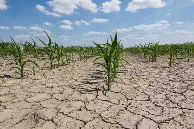
Rain, which began Thursday afternoon, will continue Friday across much of eastern Colorado.
By Saturday, the upper low system moves into Kansas, and temperatures across the eastern plains will climb into the 50s. The area dries out further Sunday as an upper level ridge moves in, moving temperatures further upward to the 70s across much of eastern Colorado.
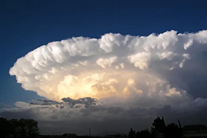
For the week ahead, fast-moving systems crossing the area are expected to bring showers back to the mountains Monday, along with temperatures in the 70s and 80s across the plains. Widespread showers are possible Tuesday following an expected cold front Monday night that will drop daytime temperatures back to the 60s and 70s. Wednesday will see a continuation of temperatures in the 60s and 70s.
While models show some disagreement later in the week, a low pressure system is expected to bring another round of precipitation along with high temperatures dropping back to the 50s.