Red Flag Warning, 45 mph gusts sweep Cheyenne Wells before weekend storm chances

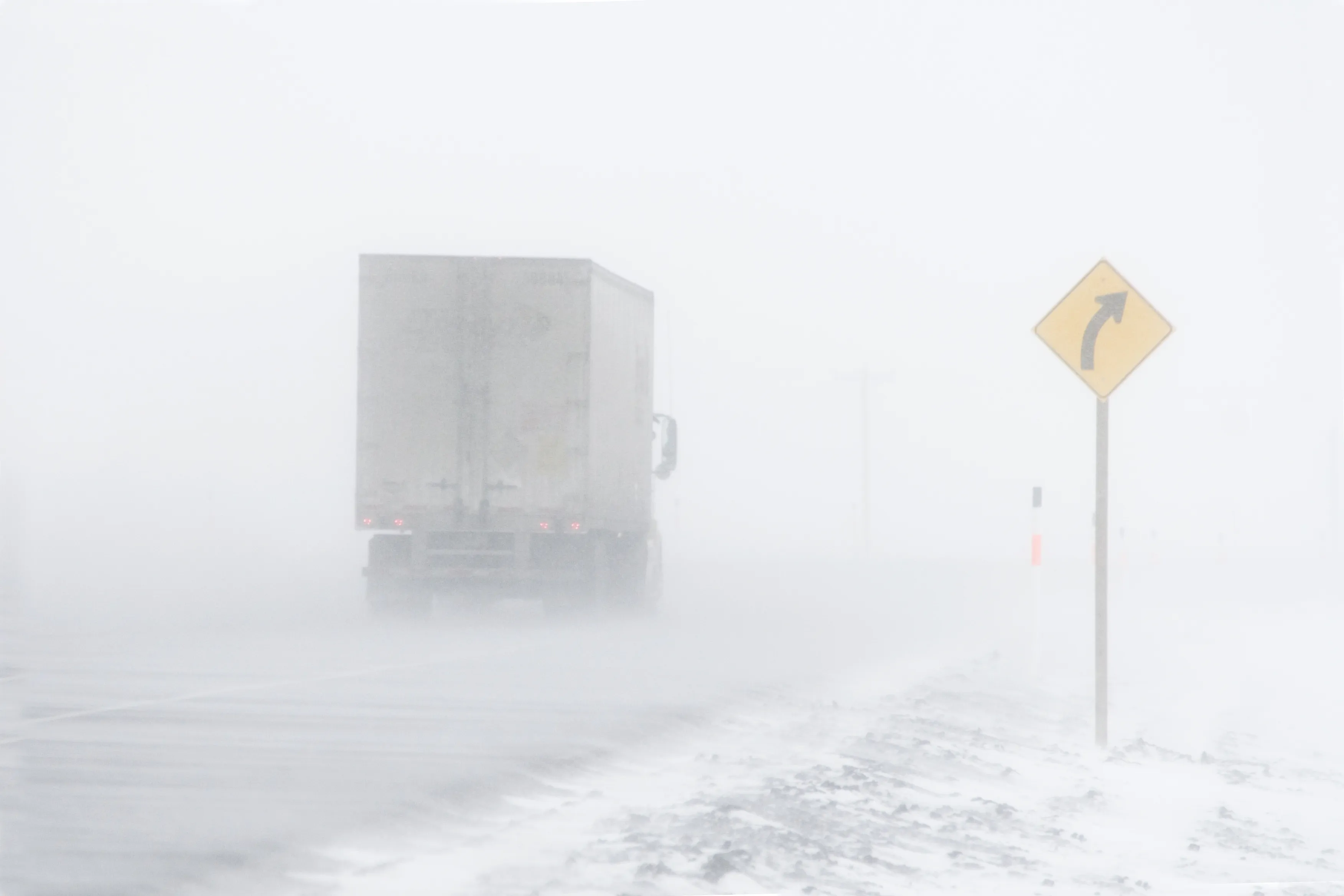
A Red Flag Warning covers Cheyenne County through midnight Wednesday as south winds gusting to 45 mph, single-digit humidity and dry fuels combine to drive critical fire conditions across the Tri-State region. Cheyenne Wells is expected to see a high near 86 and breezy conditions, with scattered high-based storms possible late in the day near the Colorado-Kansas border.
The National Weather Service office in Goodland, Kansas, issued the warning at 12:38 a.m. Wednesday, covering Cheyenne, Kit Carson and Yuma counties in Colorado along with counties in western Kansas and southwest Nebraska. South winds of 20 to 30 mph with gusts to 45 mph are forecast, along with relative humidity as low as 12 percent.
Meteorologists in the Goodland, Kan., forecast office wrote in Wednesday’s Area Forecast Discussion that scattered afternoon storms “will produce little, if any, precipitation at the ground, with a risk for dry lightning acting as a trigger for wildfires given the persistent dry fuels.”
Dry line brings storms, blowing dust
A marginal severe-weather risk is in place along the dry line late Wednesday afternoon, with storm bases near 12,000 feet and primary hazards of wind gusts exceeding 50 knots, blowing dust and localized dust storms. A cold front moves through Thursday, dropping highs into the lower 70s, but afternoon humidity drops again near 10 percent region-wide, the Goodland office noted.
Cheyenne Wells, Colo. — Five-day forecast (April 22–26, 2026)
Source: National Weather Service, Goodland — Issued April 22, 2026
Period | Sky Conditions | High/Low | Wind |
|---|---|---|---|
| Wednesday | Sunny; breezy | High 86 | South 10 to 20 mph; gusts to 35 mph |
| Wednesday Night | Increasing clouds; breezy | Low 46 | South 10 to 20 mph, becoming north after midnight; gusts to 30 mph |
| Thursday | Mostly cloudy, becoming sunny; 20% chance of showers after noon | High 73 | North 10 to 15 mph |
| Thursday Night | Partly cloudy; 20% chance of showers before midnight | Low 35 | North 5 to 15 mph |
| Friday | Sunny | High 71 | Light and variable |
| Friday Night | Mostly cloudy | Low 36 | Light and variable |
| Saturday | Partly sunny; 20% chance of showers after noon | High 69 | Light and variable |
| Saturday Night | Mostly cloudy; 40% chance of showers and thunderstorms | Low 42 | Light and variable |
| Sunday | Showers likely; possible thunderstorm after noon | High 75 | Light and variable |
| Sunday Night | Partly cloudy; 50% chance of showers and thunderstorms; breezy | Low 33 | Breezy |
(Kiowa County Press)
Thursday and Friday cooler, calmer
Thursday will bring a 20 percent chance of showers after noon, with clouds gradually giving way to sunshine and a high near 73. Thursday night carries another 20 percent chance of showers before midnight under partly cloudy skies, with a low near 35. Friday turns sunny and calmer, with a high near 71 and lighter winds of 5 to 15 mph across most of the area.
Extended outlook
The weekend pattern turns wetter. Saturday brings a 20 percent chance of afternoon showers and a high near 69, followed by a 40 percent chance of showers and thunderstorms Saturday night under mostly cloudy skies and a low near 42. Sunday carries the highest thunderstorm potential of the period, with showers likely and a possible afternoon thunderstorm, a high near 75, and a 50 percent chance of showers or thunderstorms Sunday night. Breezy conditions return overnight with a low near 33.
Residents are urged to comply with local burn bans, avoid driving on dry vegetation and never discard lit cigarettes outdoors while the Red Flag Warning is in effect.