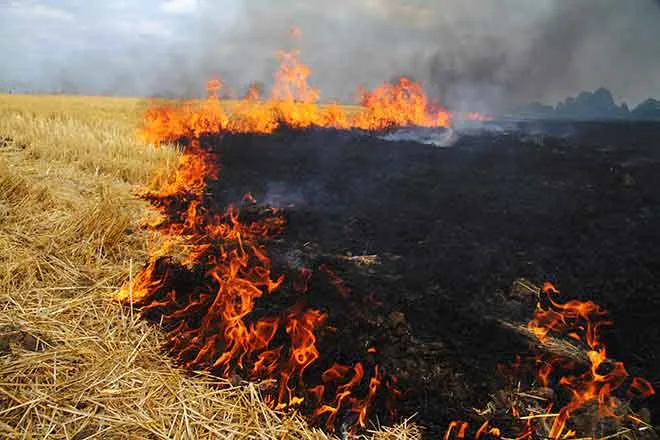
Red flag warning covers Cheyenne County today; windy Thursday and cooler, stormy Sunday

A red flag warning takes effect across Cheyenne County on Wednesday afternoon as sunny skies, a high near 93 degrees and increasing winds raise the fire danger around Cheyenne Wells, according to the National Weather Service office in Goodland, Kan. The warning runs from noon to 8 p.m., the leading edge of a pattern that turns sharply windy Thursday before storm chances and cooler air arrive over the weekend.
Wednesday is sunny and warm, with a high near 93 degrees. Northwest winds of 5 to 15 mph shift to the south during the afternoon. Skies stay mostly clear Wednesday night, but winds turn breezy from the north at 15 to 20 mph after midnight, gusting to 35 mph, as the low settles near 57 degrees.
Forecasters in Goodland placed Cheyenne County under a red flag warning for Wednesday afternoon and evening, citing low humidity and gusty winds. Residents are urged to avoid activities that could spark a grass fire while the warning is in effect.
A windy Thursday behind a cold front
The period's most striking change is Thursday's wind. Behind a cold front, north winds of 25 to 30 mph, easing to 15 to 20 mph by afternoon and gusting as high as 45 mph, accompany cooler air that holds the high near 78 degrees under continued sunshine. Winds relax Thursday night as the low drops near 50 degrees.
Cheyenne Wells, Colo. — Five-day forecast (June 10–14, 2026)
Source: National Weather Service, Goodland, Kan. — Issued June 10, 2026
| Period | Sky conditions | High/Low | Wind |
|---|---|---|---|
| Wednesday, June 10 | Sunny | High 93 | NW 5–15 mph, becoming S in the afternoon |
| Wednesday night | Mostly clear | Low 57 | NE 5–10, becoming N 15–20; gusts to 35 |
| Thursday, June 11 | Sunny | High 78 | N 25–30 mph, decreasing to 15–20; gusts to 45 |
| Thursday night | Mostly clear | Low 50 | NE 5–10, becoming S after midnight |
| Friday, June 12 | Sunny | High 91 | S 10–15 mph, increasing to 20–25; gusts to 35 |
| Friday night | Partly cloudy | Low 59 | Light winds |
| Saturday, June 13 | Sunny | High 94 | Light winds |
| Saturday night | Partly cloudy; 40% storms | Low 52 | Light winds |
| Sunday, June 14 | Mostly cloudy; chance of storms | High 71 | NE around 15 mph |
(Kiowa County Press)
Thursday and Friday
Thursday stays sunny but blustery and cooler, with a high near 78 degrees and north gusts to 45 mph. Winds ease Thursday night as the low drops near 50 degrees.
Friday warms back to near 91 degrees with breezy south winds of 10 to 15 mph increasing to 20 to 25 mph and gusts to 35 mph under continued sunshine.
Weekend outlook
Saturday is sunny and warm with a high near 94 degrees before the weekend turns wetter. A 40 percent chance of showers and thunderstorms develops Saturday night, mainly after midnight, and Sunday turns cooler and mostly cloudy with a high near 71 degrees and a chance of showers and thunderstorms, mainly after noon.
The weather service in Goodland advises monitoring later updates, particularly while Wednesday's red flag warning is active and as storm chances increase Saturday night into Sunday.