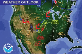
Thunderstorms Return Thursday - Tornadoes Possible

The cooler and wet pattern of the past week continues over the southeast quadrant of Colorado Thursday.
Showers are continuing during the early morning hours before a break around mid-morning until the early afternoon.
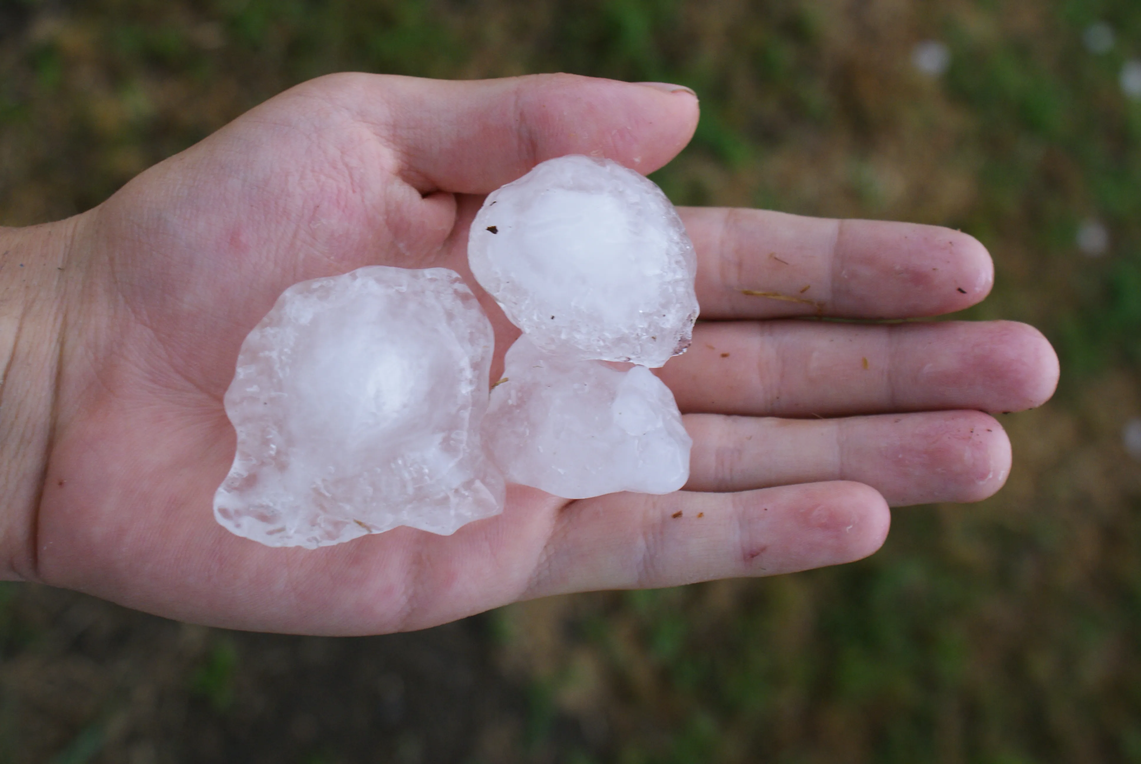
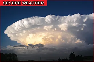
Scattered showers and thunderstorms will develop later in the afternoon, continuing into the evening, with some storms reaching the severe range. Large hail – up to half-dollar size – will be possible, along with wind gusts that may exceed 60 miles per hour.
Locally heavy rain is possible, particularly along the border with Kansas where storms could continue past midnight. The risk of flash flooding is elevated with the potential rainfall amounts and soil saturation from recent storms across the area.
Temperatures will remain below seasonal norms, with low to mid-80s expected. Lamar and La Junta will be slightly warmer with highs in the mid- to upper 80s.
The Storm Prediction Center in Norman, Oklahoma, shows a small risk for tornadoes Thursday across most of southeast Colorado, stretching to the northeast and central part of the state.
Weather information is updated throughout the day at http://KiowaCountyPress.net/weather.