Wind, fire danger Monday across eastern Colorado
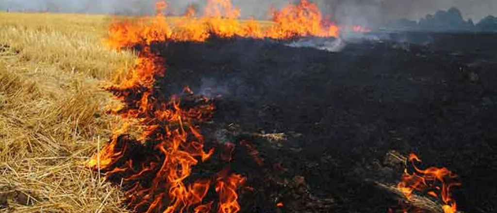
Monday marks the third anniversary of the deadly Marshall Fire in Boulder County, which burned over 1,000 structures – most of them homes. Monday is also expected to bring a return of high fire danger and strong winds reminiscent of conditions three years ago.
The National Weather Service has issued fire weather watches for most of southeast Colorado and areas along the Front Range for Monday morning through the afternoon. Relative humidity is expected to fall to around 20 percent, while winds gust up to 55 miles per hour.
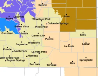
Fire weather watches in southeast Colorado for December 30, 2024, highlighted in light tan - NWS
In the southeast portion of the state, watches will be in effect for all or portions of Prowers, Baca, Las Animas, Bent, Otero, Crowley, Huerfano, Pueblo, and El Paso counties. Further north, watches include all or parts of Lincoln, Elbert, Douglas, Jefferson, Arapahoe, Denver, Adams, Boulder, Broomfield, Larimer, and Weld counties.
Conditions favor the rapid spread of any fires which do ignite. The NWS discourages any outdoor burning or other activities which could spark a fire.
High wind watches have also been issued for northeast and east central Colorado, including all or portions of Cheyenne, Lincoln, Elbert, Arapahoe, Adams, Kit Carson, Washington, Yuma, Morgan, Logan, Weld, Phillips, and Sedgwick counties. Those watches will also be in effect from Monday morning through the afternoon.
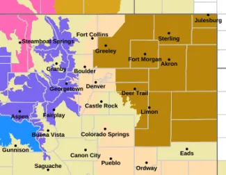
© Potential for high wind December 30, 2024, highlighted in brown - NWS
Wind gusts up to 60 mph are possible, and could produce blowing dust which would reduce visibility to less than one-quarter miles in some areas. Travel will be difficult and potentially hazardous, especially for high-profile vehicles.


