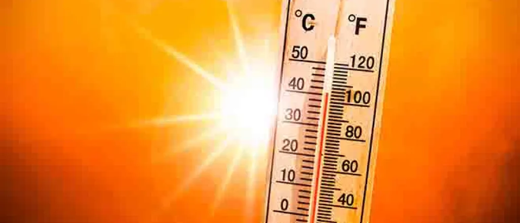
Triple-digit heat to bake the Southwest into this week
An active start to the North American monsoon has helped to keep temperatures relatively in check in the Southwest recently, but AccuWeather forecasters say that the chance of thunderstorms will decrease in the coming days, allowing temperatures to swell across the region.
Much of the monsoon's moisture has been focused over Colorado, New Mexico, and southeastern Utah as of late. Farther to the west, many locations have received very little, if any, rain. When the ground is dry, the sun's energy is not needed to evaporate moisture. Instead, the ground is heated quickly which results in higher temperatures.
As a 'heat dome' shifts to the west this weekend and into next week, temperatures will be on the rise. Underneath a heat dome, sinking air causes temperatures to climb, and precipitation and cloud cover tend to be limited.
"A resilient heat dome that has brought hot weather to the southern Plains this week will spread into the Southwest and park itself there, likely through much of next week," said AccuWeather Meteorologist La Troy Thornton.
One example of a city that will be under the dome of heat is Las Vegas. The last time Las Vegas had measurable rain was on March 28 when 0.1 of an inch of rain fell. This extended period of dryness will allow for efficient heating, and the mercury will rise to around 110 degrees Fahrenheit by Monday, a few degrees shy of record territory. Similar values are likely on Tuesday and Wednesday.
People planning to visit outdoor destinations, such as Zion National Park and Arches National Park in Utah, should avoid hiking in the afternoon when temperatures are near their peak.
Phoenix received 0.31 of an inch of rain in late June thanks to monsoonal thunderstorms. However, no measurable rain has fallen since, and the ground is fairly dry. Temperatures will rise above 110 degrees as early as the weekend and stay there through much of next week. The highest predicted temperature is 112 degrees on Monday. However, the temperature may be a degree or two lower in some Phoenix neighborhoods thanks to the city's Cool Pavement Program aimed at reducing the intensity of the urban heat island effect.
As high as these temperatures are expected to be, records are unlikely to be broken.
"Record heat may be hard to come by for many locations because this is already a very warm time of year," explained Thornton.
Farther north, Salt Lake City has had four days above 100 degrees so far this year. That number may double or triple by the time next week comes to an end. The heat will peak a bit later in Salt Lake City, as the heat dome builds northward throughout next week.
Since normals and records are not as high in Salt Lake City as they are in the Desert Southwest, this may be an exception to records being out of reach. The forecast high of 105 F on Saturday would surpass the correct record for the date of 102 F. The mercury could also challenge the daily record of 107 F on Wednesday, July 13.
With moisture suppressed, the chance of monsoonal thunderstorms will be low outside of New Mexico. However, given the lack of moisture, any thunderstorms that do develop may produce more lightning than rain. These are called dry thunderstorms as most or all of the rain falling from the clouds evaporates before making it to the ground, while lightning from the storm could spark fires in the parched landscape.
The greater focus of any thunderstorms should be on the edge of the heat dome.
"The monsoon's moisture will shift west and fuel spotty thunderstorms across the mountains of Nevada and California by the middle of next week," said AccuWeather Senior Meteorologist Mike LeSeney.
It may take until next weekend for temperatures to lower somewhat as the heat dome finally begins to weaken and shift eastward over the Plains.

