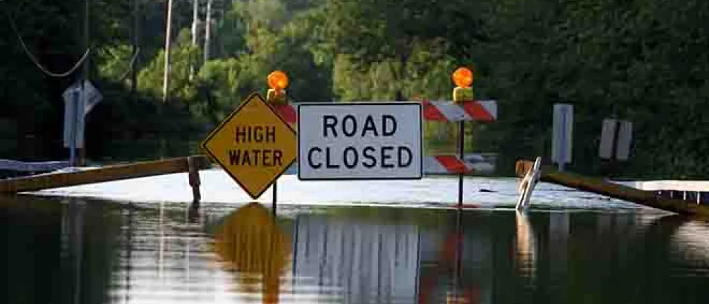
Several inches of varying forms of precipitation are expected over the next week as an atmospheric river establishes itself over the northern half of the Western U.S.
Participants: Rod Bain and USDA meteorologist Brad Rippey
Transcript
A return of atmospheric rivers across the western US.
USDA meteorologist Brad Rippey.
We have this atmospheric river starting to set up and we have a long fetch of tropical moisture originating far back into the central Pacific.
That will be reaching northern California and the Pacific Northwest during the mid to late week period and in fact likely extending through the weekend and into early next week in some form.
Precipitation totals could reach between 10 to 20 inches over the course of the week.
In some of the orographically favored areas which would include the coastal ranges of northern California and then eventually extending inland to the Sierra Nevada as we start to gain elevation and move up into the higher reaches of the Sierra Nevada and the Cascades.
Accumulations measured in feet.
Lower elevation precipitation could lead to flood conditions in places.
This storm is expected to also provide heavy precipitation in the northern Rockies and intermountain west.
I'm Rod Bain reporting for the U.S. Department of Agriculture in Washington, D.C.


