BLM announces added protections for sensitive Oregon landscape
Click play to listen to this article.
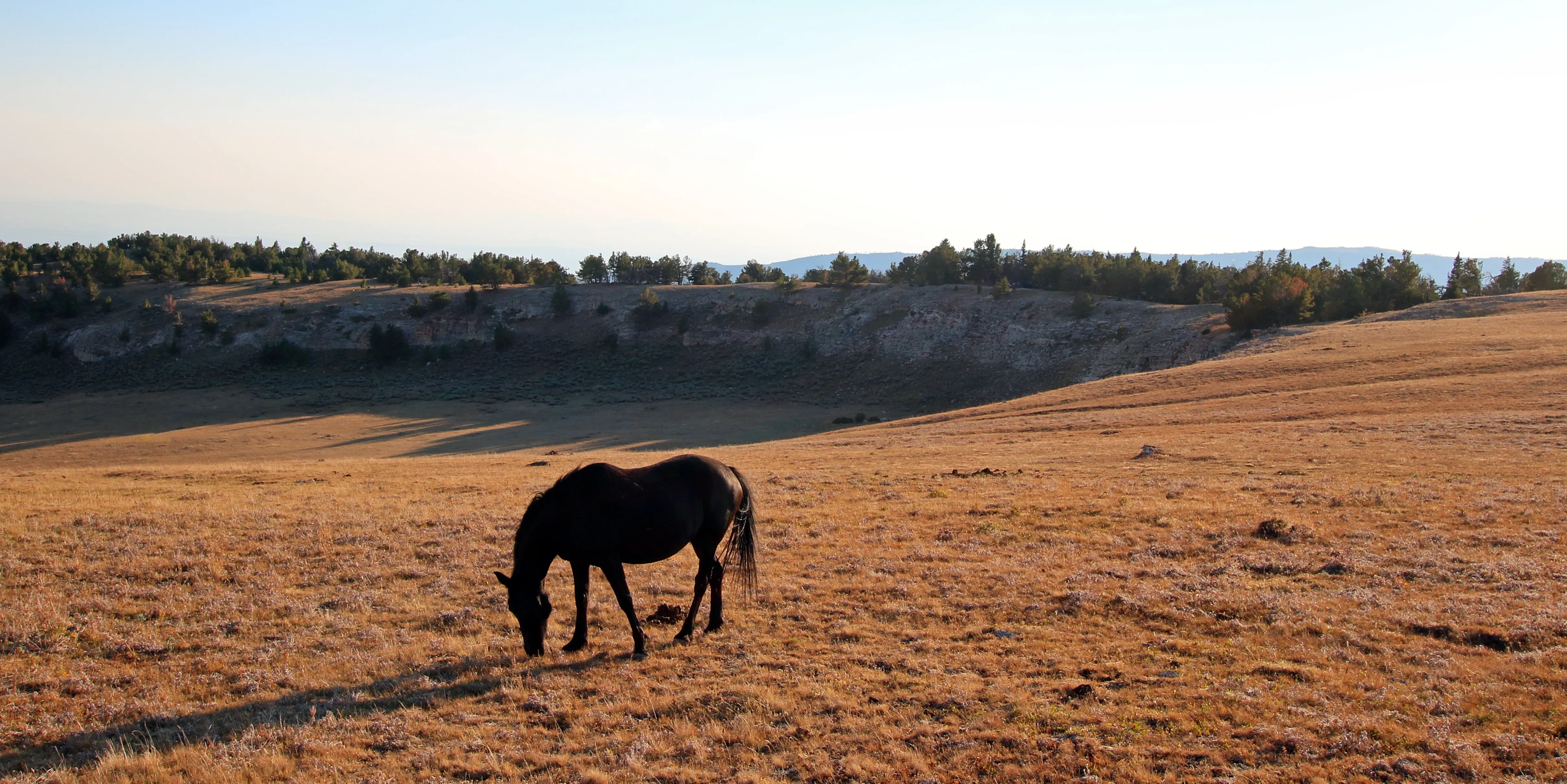
(Oregon News Service) The remote landscape of southeastern Oregon is receiving additional protections.
The Bureau of Land Management has finalized its resource management plan for the southeast corner of the state and it includes protections for parts of the Owyhee and Malheur Rivers and canyon lands in the region.
Michael O'Casey, deputy director of forest policy and Northwest programs for the Theodore Roosevelt Conservation Partnership, said it's an exciting announcement, which will protect sensitive landscape from activities like surface development and road building.
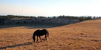
"When that landscape is impacted, it's really hard to bring it back and restore it," O'Casey pointed out. "And so, it's really important to protect the places out there that are healthy and intact and resistant. And resilience is a term that we use, to stresses from climate change or whatever else."
O'Casey noted the plan still allows for traditional uses of the land like hunting and fishing. The BLM's final resource management plan for the district covers four-point-six million acres of public land.
O'Casey stressed the agency deliberated for years on this decision.
"This planning process was initiated in 2010 and so it's been 14 years in the making," O'Casey emphasized. "The good news is that, even though it's been a really long time, was that there was a really robust public comment process throughout this."
O'Casey added appointing the Southeast Oregon Resource Advisory Council in 2014 was an important part of public involvement. The council was made up of a wide variety of area people including grazing, energy and conservation interests, who made recommendations for management in the region.
Support for this reporting was provided by The Pew Charitable Trusts.


