Chances for Rain, Storms Continue into the Weekend
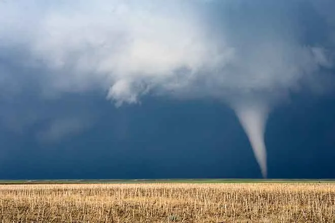
Following a day that saw widespread rain across eastern Colorado, and a few stronger storms that prompted a tornado warning across much of western Kiowa County, Friday marks the start of a calmer period.
Eastern Colorado
Scattered and isolated showers and thunderstorms will form over the foothills Friday and spread to the northern plains by early afternoon. Less rain is expected versus Thursday’s storms, which brought widespread moisture to eastern Colorado – though a few storms may reach the severe range and bring hail up to one inch and 60 mile per hour wind gusts. Hail and wind will be less severe in southeast Colorado.
Temperatures will mainly be in the mid-70s across the eastern half of the state Friday, though Sterling and Fort Morgan will see low 80s.
A chance for rain and thunderstorms remains in the forecast through at least mid-week. Temperatures will move to the low 80s for the weekend into the middle of the coming week.
Western Colorado
Monsoon moisture is bringing rain into to some southwest valleys and the San Juan mountains Friday morning. A high-pressure system to the south of the area will help continue showers into the afternoon and evening hours. Gusty winds and some hail are possible.
Friday’s temperatures across the west will be in the upper 70s to low 80s, with the Grand Junction area seeing upper 80s.
Going into Saturday, look for active weather, with some areas seeing heavy rains and the potential for debris flows from recent burn scars. Temperatures will be similar or a few degrees warmer than Friday.
In the coming week, drier air is expected, particularly in the Tuesday-Wednesday time frame. Some moisture will remain south of the area which could lead to some rain for the southwest part of the state. Temperatures will remain in the low to mid-80s for most of the area, and the drying trend is expected to continue into the following week.
Check weather information throughout the day at http://KiowaCountyPress.net/weather
| Forecast - August 11 - 14 | ||||||||
| Friday | Saturday | Sunday | Monday | |||||
| City | High | Low | High | Low | High | Low | High | Low |
| Eads | 77 | 61 | 82 | 60 | 82 | 60 | 82 | 60 |
| Springfield | 75 | 61 | 82 | 59 | 82 | 61 | 81 | 62 |
| Trinidad | 76 | 56 | 81 | 58 | 83 | 56 | 81 | 56 |
| Limon | 76 | 57 | 82 | 57 | 81 | 80 | 56 | 81 |
| Sterling | 82 | 59 | 84 | 58 | 84 | 59 | 85 | 59 |
| Fort Morgan | 83 | 58 | 85 | 57 | 83 | 59 | 86 | 58 |
| Craig | 82 | 50 | 84 | 49 | 83 | 50 | 84 | 50 |
| Grand Junction | 88 | 64 | 89 | 62 | 88 | 62 | 88 | 61 |
| Montrose | 81 | 56 | 82 | 56 | 82 | 55 | 81 | 55 |
| Cortez | 79 | 56 | 83 | 56 | 84 | 56 | 82 | 55 |
Photo: Storm Formation over Kiowa County Thursday, courtesy Jeanne Sorensen

