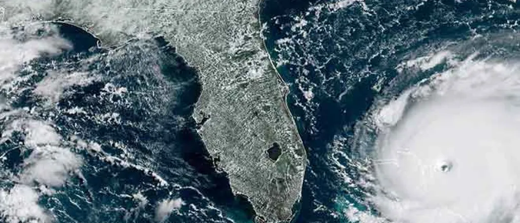
Dorian now a Category 5 hurricane, much of Southeast U.S. on alert
By Dan McCaleb | The Center Square
Bearing down on the Bahamas, Dorian grew to a Category 5 hurricane Sunday with sustained winds of 160 mph.
The National Hurricane Center warned that Dorian is now a potentially "catastrophic" storm that is packing "devastating winds." Category 5 storms are the most powerful on the Saffir-Simpson Hurricane Wind Scale.
The "eyewall of [the] now catastrophic Category 5 Hurricane Dorian [is] about to hit the Abaco Islands with devastating winds," the hurricane center said in an 8 a.m. eastern bulletin. "Life-threatening storm surge and very heavy rainfall also expected."
A storm surge of up to 15 to 20 feet is possible and as much as 24 inches of rain could fall on the Bahamas, the center warned.
Dorian remains a threat for the U.S. East Coast, from Florida to North Carolina, including Georgia, South Carolina and Southeast Virginia.
The storms trajectory has confounded forecasters, who say it's still too early to predict where in the U.S. Dorian will make landfall. They warn, however, that it could make impact with the coastal U.S. in Florida, then turn north and bombard a number of coastal states.

The hurricane was moving slowly westward about 225 miles east of West Palm Beach, according to the center's 8 a.m. bulletin. It is expected to reach the U.S. sometime between late Monday and Tuesday.


