Image
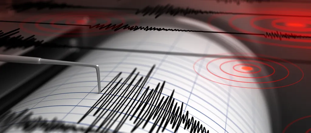
Earthquake Saturday Southwest of Denver
© iStock
By Chris Sorensen
The United States Geological Survey recorded an earthquake southwest of Denver Saturday. The quake occurred just
No damage are available.
Bailey is on US Highway 285 in Park County, about 25 miles southwest of Golden.
The quake was the only one recorded in Colorado over the past month. Six earthquakes were recorded during a one week period in Colorado in late August.
A magnitude 2.5 quake was recorded in Kiowa County August 6 near the Great Plains Reservoirs.
The Federal Emergency Management Agency offers a variety of earthquake safety and preparation tips.

