Lamar heat peaks near 104 on Wednesday as fire danger rises in Prowers County

Lamar begins the week mild Monday before a fast-building stretch of heat pushes the high to near 104 by Wednesday, the hottest day of the week, as gusty, dry winds raise the fire danger across Prowers County.
Monday will be mostly cloudy, then gradually become sunny, with a high near 84 after a 10 percent chance of thunderstorms before 9 a.m., according to the National Weather Service. Southeast winds will run 5 to 10 mph. Skies turn mostly clear Monday night, with a low around 52.
The main concerns will be increasing fire weather conditions through much of the extended period, and very hot temperatures for Wednesday, a meteorologist with the National Weather Service in Pueblo wrote in Sunday's Area Forecast Discussion.
Midweek heat and fire danger
Heat is the week's dominant story, peaking Wednesday with a forecast high near 104 in Lamar.
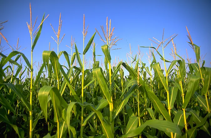
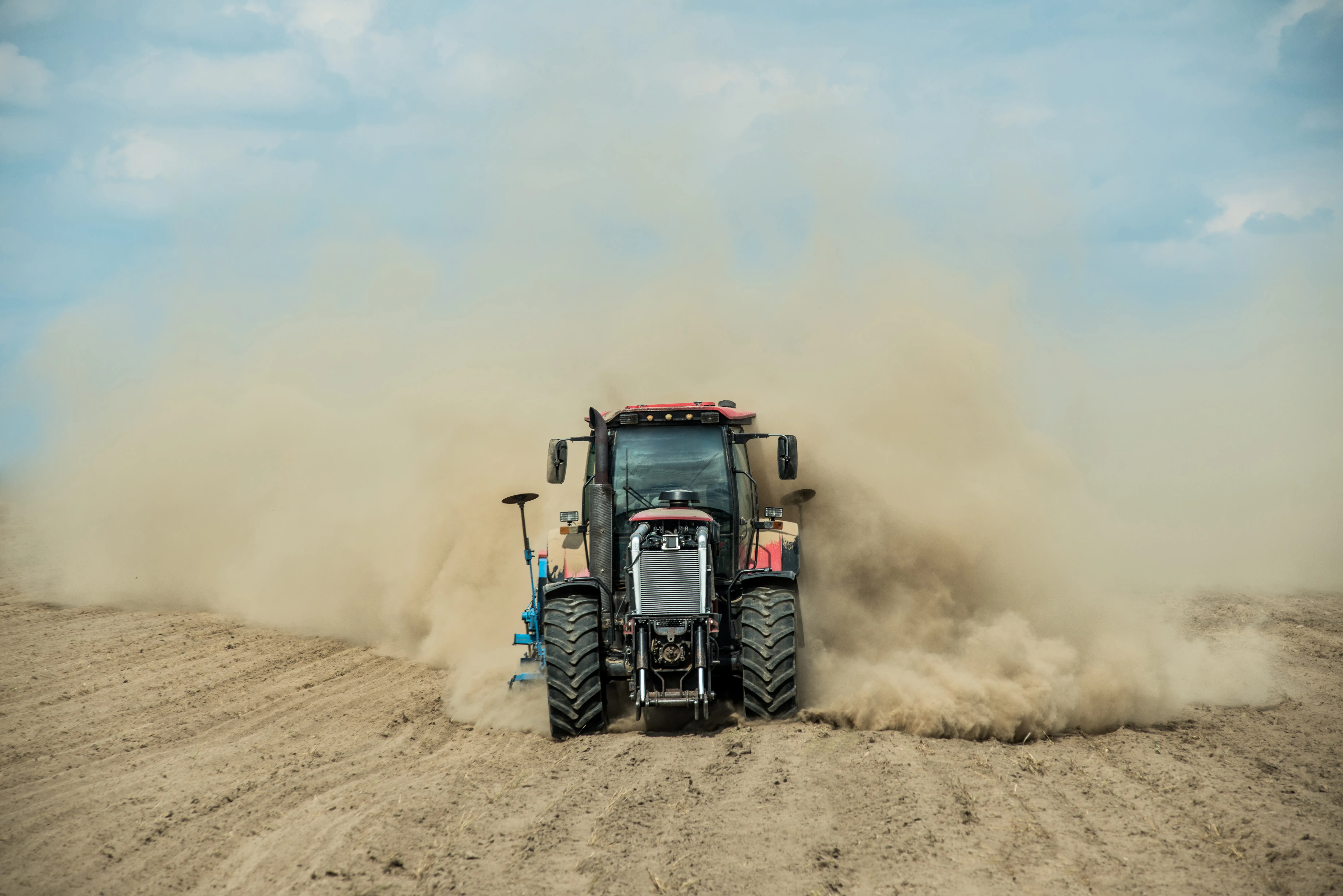
The Pueblo forecast office expects gusty winds and very dry air to spread across the region Tuesday into Wednesday, with high fire danger across the plains. Forecasters said those with outdoor burning activities should plan to burn another day. No Red Flag Warning covered Prowers County as of Sunday, but the combination of triple-digit heat and gusty winds points to elevated to critical fire conditions midweek.
Lamar, Colo. — Five-day forecast (June 15–19, 2026)
Source: National Weather Service, Pueblo — Issued June 14, 2026
| Period | Sky Conditions | High/Low | Wind |
|---|---|---|---|
| Monday | Morning t-storm chance, then sunny | High 84 | SE 5–10 mph |
| Monday Night | Mostly clear | Low 52 | SE 5–10 mph becoming W |
| Tuesday | Sunny | High 93 | Calm becoming WSW around 5 mph |
| Tuesday Night | Clear | Low 60 | S around 5 mph becoming WSW |
| Wednesday | Sunny and hot | High 104 | WNW 5–15 mph becoming S |
| Wednesday Night | Clear, breezy | Low 59 | SE 10–20 mph becoming NE, gusts to 35 mph |
| Thursday | Sunny | High 89 | NNE 10–15 mph |
| Thursday Night | Mostly clear | Low 56 | ESE 10–15 mph |
| Friday (Juneteenth) | Sunny, breezy | High 94 | S 15–25 mph, gusts to 40 mph |
| Friday Night | Partly cloudy, breezy | Low 61 | S 15–25 mph, gusts to 35 mph |
(Kiowa County Press)
Tuesday and Wednesday
Tuesday will be sunny, with a high near 93 and a light wind becoming west-southwest in the afternoon. The low Tuesday night will be around 60. Wednesday brings the week's peak heat, sunny and hot with a high near 104. West-northwest winds of 5 to 15 mph will become southerly in the afternoon. Wednesday night turns breezy, with southeast winds of 10 to 20 mph shifting to the northeast and gusts as high as 35 mph.
Extended outlook
A cold front is expected to nudge the heat down late in the week. Thursday will be sunny with a high near 89 and north-northeast winds of 10 to 15 mph. Friday, the Juneteenth holiday, stays hot and turns breezy, with a high near 94 and south winds of 15 to 25 mph gusting to 40 mph. Forecasters said southwesterly flow will bring increasing chances for showers and thunderstorms into the weekend.
With highs near or above 100 midweek, residents should stay hydrated, limit afternoon exertion and watch for heat-related illness. Gusty winds and very dry air also raise the fire risk, and outdoor burning should be postponed until conditions improve.