Meteorological spring has arrived. Here's what to expect
Finally, spring is here. Well, sort of. March 1 marks the first day of meteorological spring, but astronomical spring — which is more widely regarded as the start of the season — is still about three weeks away.
Meteorologists recognize spring as spanning March, April and May for consistency’s sake in weather record-keeping and also based on temperature trends in the U.S. Astronomical spring will officially begin at the vernal equinox, which will occur at 5:37 a.m. EST on March 20, 2021. The Earth’s elliptical orbit around the sun and other factors like leap year can affect the start date and length of astronomical seasons, making it more difficult to compare one season to the next. And the weather in March can be quite the weather roller coaster for many regions of the country, but warmer air typically starts reaching southern areas this month.
This year, after a tumultuous and late onset of cold and wintry weather, the Northeast experienced a brief taste of spring weather during the middle of February's final week, and tame weather will briefly be in store during the first week of March. However, AccuWeather forecasters warn in an update to the 2021 spring forecast released this week that Americans living across this region shouldn’t disregard the potential for some last hurrahs from winter just yet. The month of March may yield more wintry precipitation and rounds of cold for the region.
Meanwhile, other areas of the nation that typically don’t experience winter’s worst in terms of bitter Arctic cold, snow and ice were dealt devastating blows in February. Texas is still reeling from calamitous back-to-back winter storms and historically low temperatures — and many communities will be cleaning up from the mess for weeks to come. The weather pattern will be unsettled in the South in the coming week, but the weather disruptions will unfold in a more typical variety, in the form of rain and thunderstorms, for the region. Although some isolated severe weather may be possible, there could be a delayed onset to the typical tornado season across the central and southern U.S. — and there is likely to be a shift in areas that are tornado-prone this season, compared to normal.
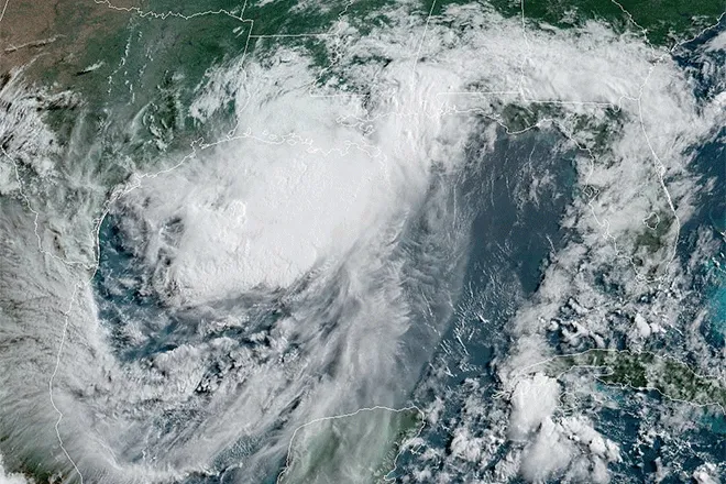
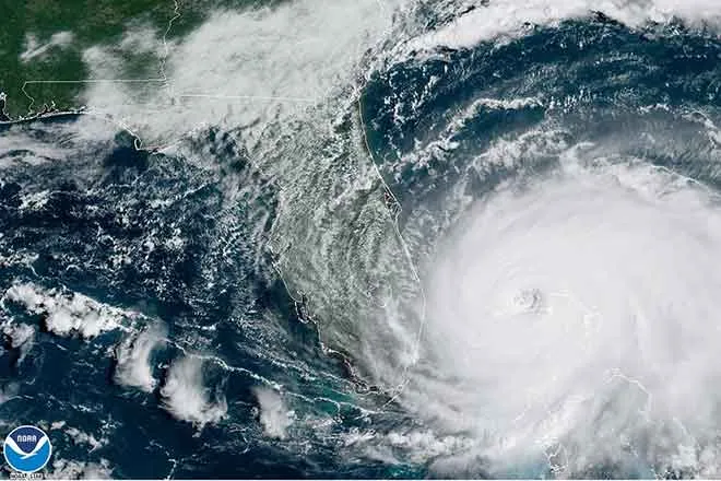
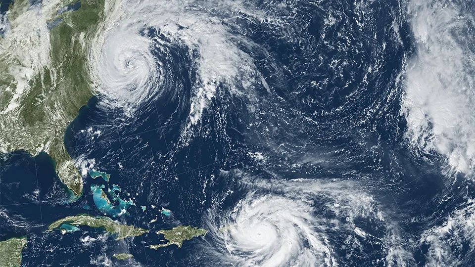
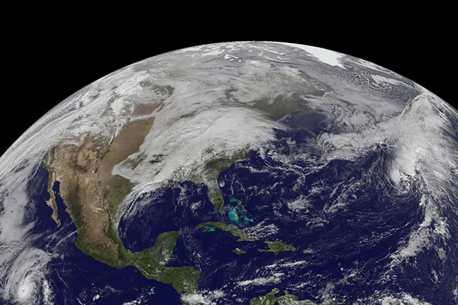
A driving factor behind spring weather this year will be a continuation of a phenomenon known as La Niña. This is a phase during which the water of the tropical Pacific Ocean is cooler than normal, which, in turn, affects the atmosphere. It officially set in during October 2020 and was a major player in the historic and unprecedented hurricane season last year. AccuWeather Lead Long-Range Meteorologist Paul Pastelok said the pattern may finally weaken before the transition to summer occurs this year.
Take a look at the complete region-by-region breakdown below.
Northeast
There may be more than just a few April showers across the Northeast this year as a stormy pattern that is expected to take shape at the end of winter will carry over into the new season.
Residents across the Northeast and Midwest can expect “more or less a continuation of winter through the month of March,” AccuWeather Senior Meteorologist Dave Samuhel said.
For some big East Coast cities such as Philadelphia, New York City and Boston, the transition into the new season could feature a few big winter storms, which could threaten further disruptions to ongoing coronavirus vaccination efforts.
There will still be the potential for big wintry storms to impact the Northeast well into March, Pastelok said, adding that the active pattern will carry over into April when winter's last gasps will bring about the final chances of snow.
Last year, a major snowstorm blanketed the northern tier of the U.S. on Easter Sunday, leading many to declare "Merry Easter" on social media due to the spring holiday weather's resemblance to weather people normally associate with Christmas.
With Easter arriving on April 4 this year, about a week earlier than last year, a snowy Easter Sunday may not be out of the question for some places, but Pastelok cautioned that the chances of snow happening on Easter Sunday two years in a row are statistically low.
The prospects for snowy weather during the first half of spring will benefit the ski resorts across the Northeast that faced an abridged ski season in the winter of 2019-20 due to the coronavirus pandemic.
“I think they’ll be able to stay open later in the Northeast,” Pastelok said, noting that the active pattern will lead to opportunities for snow in the higher elevations well into April.
On the flip side of the coin, businesses relying on outdoor areas to operate at a higher capacity amid the pandemic may not like Old Man Winter’s extended stay.
In November, AccuWeather conducted a poll asking people “What is the lowest temperature that you would consider dining outdoors?” and nearly half of respondents said that anything below 60 degrees Fahrenheit was too cold.
Businesses such as drive-in movie theaters that have seen a spike in popularity during the pandemic might have to wait until later in April or May before milder, more comfortable conditions return with any regularity.
Midwest
Much of the winter passed by without Arctic intrusions across the Midwest, and a low extent of ice across the Great Lakes when it typically peaks in February was evidence of that, but once winter finally roared in, it did so without abandon.
Up until early February, Chicago, Indianapolis and Minneapolis experienced AccuWeather RealFeel® Temperatures in the single digits on occasion, but long-duration Arctic cold had not materialized.
In AccuWeather's initial spring 2021 forecast, released on Feb. 3, Pastelok warned that it was not quite time to put away the heavy winter coats just yet. “We do have more cold air coming in February and into early March,” he added. And come it did.
Brutal cold spread across the Plains, reaching as far south as Texas and Louisiana during the middle of February. Low-temperature records fell as the mercury plummeted to below zero in southern cities like Oklahoma City and Dallas. However, in a week's time, a dramatic swing in the opposite direction brought temperature rises of 83 and 86 degrees respectively.
Parts of the northern Plains and Midwest, including some areas that spent more than a week with temperatures below zero during mid-February, also experienced an extreme temperature turnaround. On Monday, Feb. 22, the temperature in Rapid City, South Dakota, soared to 57 degrees in the afternoon after bottoming out at 24 degrees below zero a week prior, making for an 81-degree temperature difference.
Despite the late-season cold intrusion, ice coverage on a whole remained significantly lower than normal at 16.2% across the Great Lakes on March 1.
The low ice coverage on the lakes could have implications on the region’s weather later during spring. Since water was not particularly cold in the lakes as of early March, Pastelok explained, the air temperatures across the Midwest could go through a significant rise at the end of spring. He added that spring in the Midwest could play out like a bit of a roller-coaster ride, and conditions can change dramatically from chilly in March and April to unusually warm in May.
As the cold air begins to loosen its grip, the risk of flooding will be on the rise across portions of the Midwest. “We do think it’s gonna get pretty wet later in March and April,” Pastelok said.
The primary concern is river flooding with some of the region’s larger rivers potentially reaching moderate flood stage for a period of time, but it does not look like there will be widespread, record-breaking flooding across the region, Pastelok said.
Southeast
Snow and ice made visits to the Southern U.S. this winter, and while the weather will warm up, there could be some chilly days early on in spring. This will be especially true across across the Tennessee Valley and mid-Mississippi Valley, according to Pastelok. However, a deep penetrating cold is likely off the table for Florida and the immediate Gulf Coast.
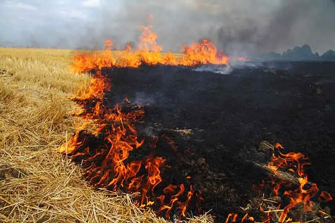
The overall warmer pattern will be a favorable one for farmers from Arkansas to western Georgia, but potential dryness farther east could lead to some pockets of drought from the Carolinas into southeastern Georgia. Not only would this be bad for farmers, but it would also raise the risk of brush fires on breezy days.
However, it may not be time to bet the farm on the chances for a drought to develop in the spring, especially if the tail end of winter ends on a wet note.
“We’ll see how the rest of winter goes if some moisture can reach down there,” Pastelok said. However, even if some late-season rain arrives, the southeastern corner of the country has "been missing out on the big” precipitation events during much of the winter, he said.
Severe weather
Storm chasers may have their hands full during the upcoming severe weather season in the central U.S., but it may take some time for the storms to get going.
AccuWeather meteorologists are calling for a slow start to the severe weather season across the United States this spring, and they are warning of the possibility that severe weather and tornado activity could abruptly fire up and rival one of the most notorious severe weather seasons ever, due to some atmospheric similarities current weather patterns bear to that devastating season.
Tornado activity is forecast to be slightly above but near normal for the entirety of the year with the number of tornadoes expected to reach 1,350-1,500 in 2021 across the United States, according to AccuWeather long-range meteorologists. Annually, the number of tornadoes averages between 1,250 and 1,400, according to U.S. government statistics.
Last year was a below-average year for tornadoes across the U.S. According to preliminary figures, there were 1,075 reports of tornadoes in 2020. It's worth noting, however, that these numbers have not been finalized by the SPC and may be adjusted. Even though tornado reports were below average in 2020, the 76 fatalities blamed on tornadoes were nearly double the three-year average, according to SPC statistics.
Cold air from the north clashing with warm, moisture-rich air from the Gulf of Mexico is the primary driver of severe weather during spring. It could take a while for these ingredients for severe thunderstorms to come together in 2021, limiting the number of severe weather events in March. However, this is expected to change as the calendar flips to April.
“We think that April, for the third year in a row, could be a very active month,” Pastelok said.
The number of severe thunderstorms can drastically increase during the months of April and May, which can also lead to an increase in the number of tornadoes that develop. AccuWeather meteorologists are predicting between 275 and 350 tornadoes will occur during the month of April alone, which could make April 2021 the third April in a row with more than 300 tornadoes.
“I agree with the AccuWeather experts,” Extreme Meteorologist Reed Timmer said during an AccuWeather Network special spring preview. “It’s going to be a late start to the severe weather season, but it’s going to be incredibly active. I think we’re going to be storm chasing a lot in April and May.”
However, Timmer may find himself chasing storms farther to the east this severe weather season compared to years past.
“I think the severe weather season is more shifted toward the central Gulf states and the mid- to- lower Mississippi Valley,” Pastelok said.
St. Louis; Little Rock, Arkansas; Jackson and Tupelo, Mississippi; Nashville and Memphis, Tennessee; Lexington and Paducah, Kentucky; and even Indianapolis are all in the area where AccuWeather is projecting the highest risk of severe thunderstorms from March through May.
The overall weather pattern this spring in the central U.S. has some similarities to that of 2011, which was an extremely active year for severe weather. More than 800 tornadoes were reported in April of 2011, a record for the most tornadoes in a single month. The deadly 2011 Tornado Super Outbreak accounted for more than 40% of these twisters.
The positioning of the jet stream this April is forecast to be very similar to that of April 2011, but Pastelok explained that there are “just a few other factors that I think will hold things back.”
One of the factors is the drought over the Four Corners and into part of the High Plains, including eastern Colorado, western Kansas, western Nebraska and part of the Texas Panhandle.
These areas of dryness will inhibit some of the thunderstorm development and are one reason AccuWeather is predicting the focus of tornado activity to occur over an area farther east than the traditional Tornado Alley. Traditionally, Tornado Alley is a tornado-prone swath of the Plains stretching from central Texas to South Dakota.
Western U.S.
March may yield some storm chances, especially early on in California, including southern areas of the state, and areas across the interior Southwest, according to Pastelok.
Even with some rain chances across the interior Southwest, long-term drought conditions will set the stage for early-spring conditions, and it could feel like the season will jump ahead straight into summer for some areas.
Exceptional drought conditions were present in Nevada, Utah, Arizona, New Mexico and Colorado, according to the latest U.S. Drought Monitor report on Feb. 25. That's the worst level of drought on the drought intensity scale.
“There are a lot of possibilities for early heat waves in the Southwest,” Pastelok said.
Death Valley, California, one of the hottest places on Earth, has already hit 90 F this year on Jan. 16, the earliest 90-degree day on record. Similar records could fall elsewhere across the interior Southwest this spring.
Skiers and snowboarders will have to head to California if they want to hit the slopes later in the season as the warm, dry pattern may spell an early end to snow sports at the resorts across Utah, Colorado, New Mexico and Arizona.
As most of the Southwest will bask in abnormal warmth and dry weather this spring, the fire hose of Pacific moisture will keep on targeting the Pacific Northwest into the northern Rockies throughout the duration of the season.
“I think [the storms] come back in, and it keeps going through April at full blast,” Pastelok said about the upcoming weather pattern for the Northwest. Even as the calendar flips to May, “I still don’t think the unsettled pattern will end. I just think that it will just ease back considerably.”
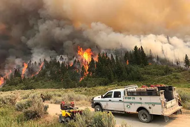
Areas along the Interstate 5 corridor from Medford, Oregon, through Seattle will face a high risk of flooding due to the parade of spring storms, which could end up being a benefit later in 2021. “Remember, these places dried out pretty good [last spring], then we ended up having a really bad fire season in parts of Oregon,” Pastelok recalled. “This year is a different setup.”
As the spring transpires, residents farther inland, especially those who live at higher elevations, may begin to wonder if spring will ever arrive, or if 2021 will be the year of a never-ending winter.
“I can still see some snow falling in parts of the northern Rockies and the higher elevations and the interior Northwest all the way into early June,” Pastelok said.

