Wet spring soaks Iowa drought
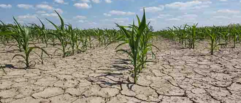
(Iowa News Service) For the first time in nearly three years, the widespread drought that has had Iowa in its grip is predicted to end. The latest drought outlook says the tinder-dry weather pattern will lift later this year.
The last time no part of Iowa was abnormally dry was in April 2020, according to the federal Climate Prediction Center's latest seasonal outlook. Justin Glisan, Iowa's state climatologist, said much wetter-than-normal spring weather, including the severe weather events that came with it, will kickstart the state's long climb back from the drought.
"Three years of precipitation deficits stacking up to 25 inches below average," he said. "We've started to put a dent in those longer-term deficits. We're seeing improvement, and contraction of the drought region."
May and June are normally Iowa's wettest months, and Glisan said the precipitation is still "ramping up." He added that this will be good for farmers who are planting crops and can look forward to more moisture than they've had recently.
Parts of Iowa have seen rainfall up to 6 inches above normal recently. Glisan said it's being driven by the El Nino weather pattern that is expected to intensify in the coming weeks. El Nino results from warmer-than-normal Pacific Ocean temperatures near the equator, and causes more rain in the Midwest. That's a positive for farmers, he said, as opposed to the La Nina pattern, which creates drier conditions in the region.
"We're moving in the right direction, trend-wise, in terms of the large-scale atmospheric setup that would support more rainfall during the growing season," he said, "as opposed to those La Nina signals that we had for the last three years."
Ironically, despite the pervasive drought, Iowa corn yield averages in the past two years have been among the state's highest in history.

