Researchers Develop Radar Simulator to Model Tornado Debris
Results could aid weather forecasters and emergency managers
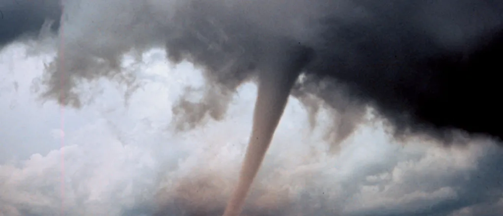
Researchers have developed the first numerical polarimetric radar simulator to study and characterize the scattering of debris particles in tornadoes.
"These results are important for operational weather forecasters and emergency managers," says Nick Anderson, program director in the National Science Foundation's (NSF) Division of Atmospheric and Geospace Sciences, which funded the research. "An improved understanding of what weather radars tell us about tornado debris can help provide more accurate tornado warnings and quickly direct emergency personnel to affected areas."
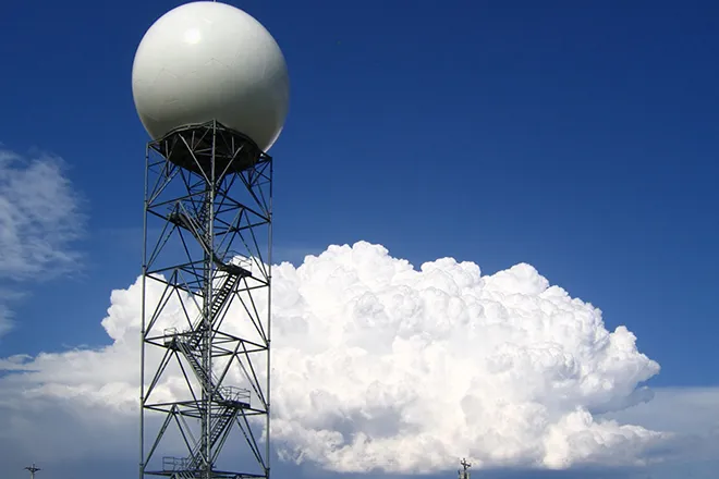
Current polarimetric radars, also called dual-polarization radars, transmit radio wave pulses horizontally and vertically. The pulses measure the horizontal and vertical dimensions of precipitation particles.
The radars provide estimates of rain and snow rates, accurate identification of the regions where rain transitions to snow during winter storms, and detection of large hail in summer thunderstorms.
But polarimetric radars have limitations the new research aims to address.
"With this simulator, we can explain in detail to the operational weather community [weather forecasters] the tornadic echo from polarimetric radar," says Robert Palmer, an atmospheric scientist at the University of Oklahoma (OU) and co-author of the paper. Palmer is also director of the university's Advanced Radar Research Center. "The knowledge gained from this study will improve tornado detection and near real-time damage estimates."
Characterizing debris fields in tornadoes is vital, scientists say, because flying debris causes most tornado fatalities.
The researchers conducted controlled measurements of tornado debris to determine the scattering characteristics of several debris types, such as leaves, shingles and boards. The orientation of the debris, the scientists found, makes a difference in how it scatters and falls through the atmosphere -- and where it lands.
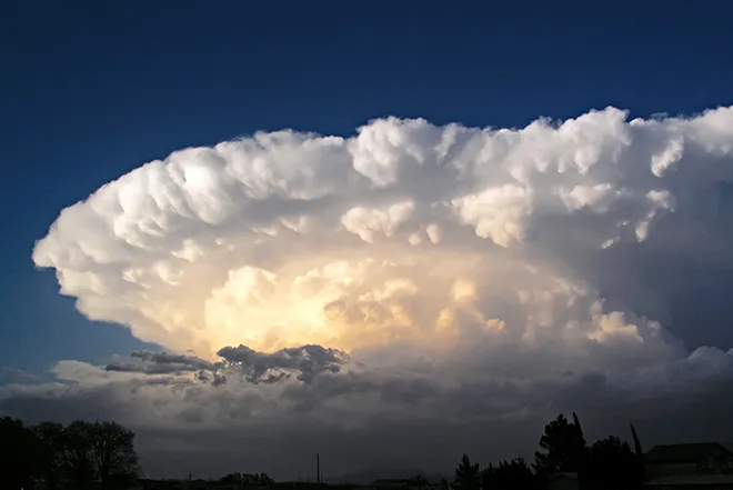
Photo: Scientists scan a possible tornado-producing supercell in Kansas at sunset. Courtesy University of Oklahoma.


