Rain Tuesday, Wednesday; More Possible for Weekend

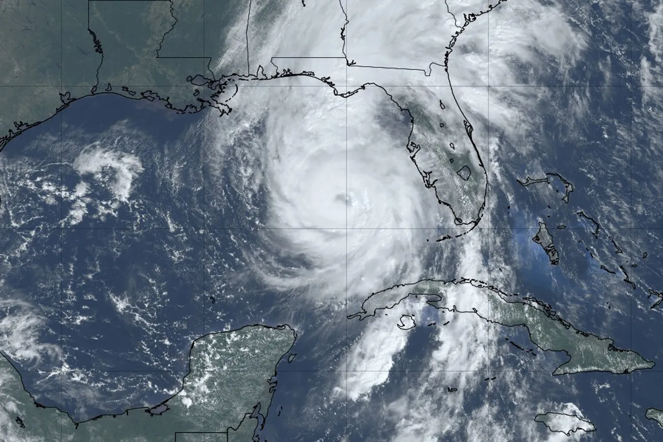
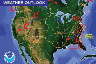
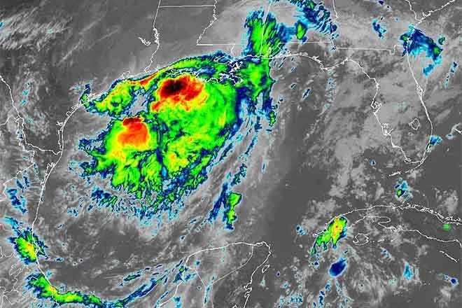
Much-needed precipitation is entering southern Colorado Tuesday as a moist upper low pressure area makes its way across New Mexico. Another system is expected for the weekend.
Rain and wind are expected to continue overnight, dropping up to another one-half inch of precipitation. East wind gusts could be as strong as 35 mph.
Wednesday’s high will only reach the mid-40s as rain continues. Wind shifts to the north and increases to 20 to 30 mph and gusts to 40 mph.
Skies begin to clear Wednesday night, becoming partly cloudy as rain subsides. Wind will also drop to the 5 to 10 mph range, and the temperature falls to around freezing.
Look for sunny skies Thursday as the high reaches the low 60s. Wind returns in the afternoon, with gusts to 30 mph predicted. The overnight low will return to the freezing mark.
Another system bringing additional moisture is expected to enter the area Friday night. Check back for details.
KiowaCountyPress.net now offers a free forecast update emailed to you each morning around 6:00 a.m. To begin receiving forecast updates, send an email to kiowacountypressweather+subscribe@googlegroups.com for quick signup process. Then, just reply to the message sent back to you to confirm your email address, and you're done! You'll start receiving the weather forecast the next morning. There's no cost, and you can unsubscribe any time.